How LiDAR Data Processing Works After a Site Scan
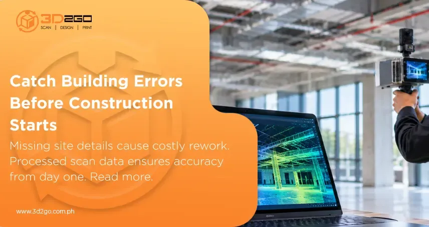
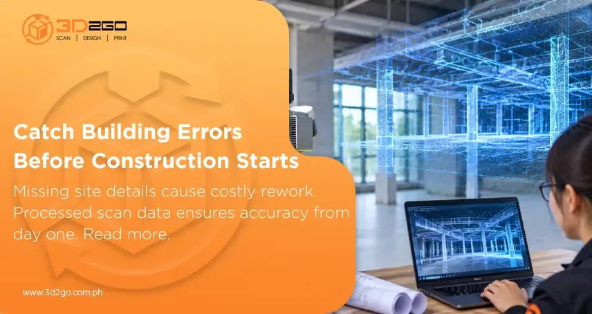
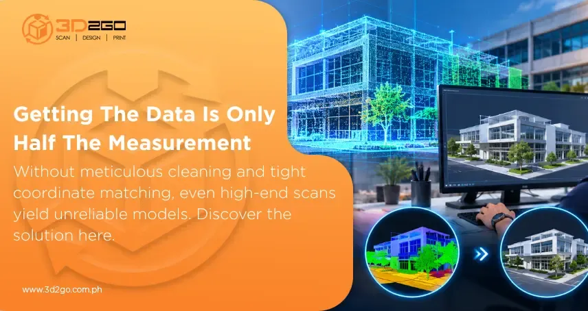
When a survey crew packs up their laser scanner or lands their drone after a long day on-site, it’s easy to think the project is practically finished. But capturing the site is really just step one. What’s sitting on those memory cards isn’t a ready-to-use 3D blueprint or a neat architectural drawing—it’s an enormous, messy pile of hundreds of millions of raw laser measurements. Turning that massive digital swarm into something your team can actually understand and work with is where professional LiDAR scanning and data services prove their worth. A fresh laser scan looks a lot like a 3D ghost image.