LiDAR Services
LiDAR SERVICES
Surveying, Measuring, Mapping, and 3D modeling
A NEW WAY TO SCAN THE WORLD
Measure the world with our precision technology. Surveying, measuring, mapping, and 3D modeling, we use precision technology to serve professionals in various industries.
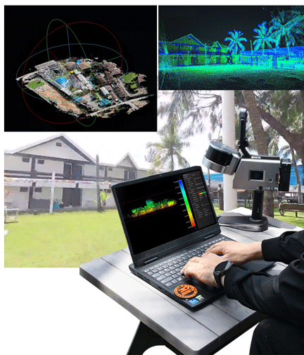
Think of it as seeing the world from a whole new perspective: clearer, sharper, and more detailed than ever before. With our LiDAR services, including lidar survey Philippines and lidar mapping Philippines, we help you capture spaces as they truly are, not just how they appear on paper. It’s like taking a snapshot of reality, but with exact measurements and full spatial awareness.
From open fields to crowded city blocks, LiDAR makes it possible to scan and measure with ease. Through the process of LiDAR, we’re able to capture detailed information about spaces quickly and accurately. The result? A precise 3D view of the area, ready to be used for planning, modeling, or presenting to clients and teams.
Whether you’re in real estate, construction, design, or even environmental research, our LiDAR services can support your vision. Big or small, every project starts with the right information, and we’re here to help you capture it.
We offer precision LiDAR technology for surveying, measuring, mapping, and 3D modeling—delivering accurate spatial data for professionals across industries. From open fields to dense cityscapes, our LiDar process and services provide clear, detailed, and true-to-life 3D representations of real-world environments. Whether you’re in construction, real estate, design, or environmental research, we help you start every project with reliable, measurable insights.
Precision Agriculture
Geospatial
Digital Construction
Landscaping
Reliable LiDar Services, Without the Hassle
Whether you’re planning a construction project, updating a site plan, or exploring new land, we make sure you start with solid, reliable data. Our team brings modern scanning tools and an eye for detail to every job, helping you work smarter and avoid costly do-overs. You don’t have to be a tech expert to benefit. We handle the tools, the setup, and the data, so you can focus on what you do best. Just tell us what you need, and we’ll help you get there, accurately and efficiently.
Ready, Set, Scan
Reliable Accuracy
Scan a 100 m²/1,000 sq ft area in just 2 minutes, and achieve 2 cm of relative accuracy with post-processed reconstruction models.
This level of precision means you get clean, dependable results without the need for repeated scans or manual corrections.
*Tested in an experimental environment
Long-Range Measurement
Featuring a built-in LiDAR 3D scanning technology, we capture precise measurements of complex objects and shapes in various dimensions and generate 3D models in one scan.
This makes it easy to measure hard-to-reach places without needing to physically touch or access every surface. From a safe distance, we can get the details you need quickly and accurately.

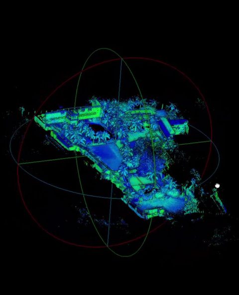
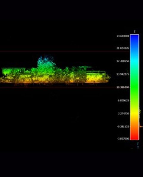
Application Scenario
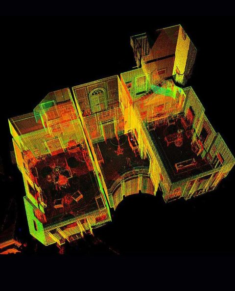
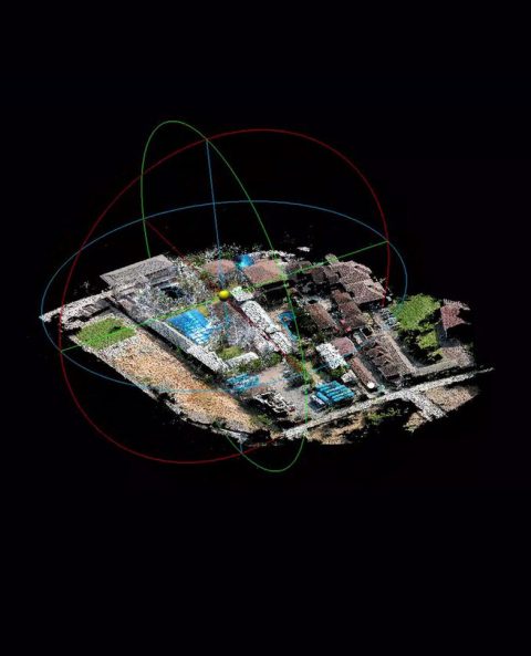
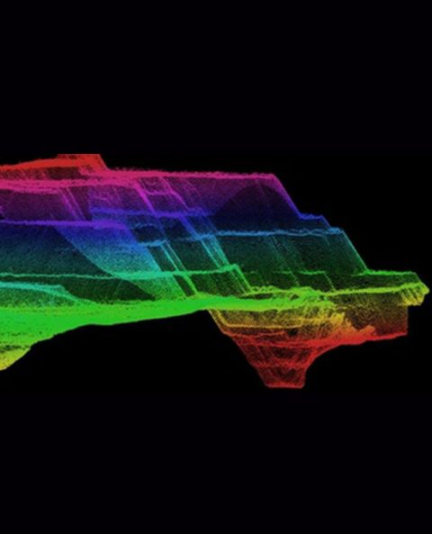
Our LiDAR services designed for both indoor and outdoor scanning, making them perfect for a wide range of scenarios.
Whether you’re working in a tight indoor space or surveying a vast outdoor site, our solutions adapt to your environment. LiDAR technology allows for accurate data collection regardless of lighting conditions, surface textures, or terrain complexity. From construction sites and architectural spaces to natural landscapes and infrastructure projects, the possibilities are nearly endless.
In outdoor settings, LiDAR is commonly used for land development, road planning, agriculture, and environmental monitoring. It helps create accurate topographic maps, monitor erosion, and even assess flood risks. For city planners and engineers, it’s a reliable way to map roads, utilities, and large-scale infrastructure with high precision.
Indoors, LiDAR is just as powerful. It’s used in facility management, floor plan creation, and interior renovations. Architects and designers benefit from detailed measurements that eliminate the guesswork when transforming existing spaces.
Our services cater to professionals in construction, real estate, environmental science, mining, and more. Whatever the project, you can count on consistent, clear, and actionable data to support better decision-making. With LiDAR, you’re not just measuring space—you’re unlocking its full potential.
Our LiDAR services support both indoor and outdoor scanning, offering versatile, high-precision data collection across varied environments and conditions. From construction sites and natural landscapes to interior renovations and facility management, LiDAR delivers accurate, actionable insights regardless of lighting, surface, or terrain. It’s widely used in land development, urban planning, agriculture, environmental monitoring, and architectural design—empowering professionals in construction, real estate, mining, and beyond. With LiDAR, you’re not just capturing space—you’re unlocking its full potential for smarter planning and execution.
Free Quote
We’d love to hear from you! Fill out the form below and we’ll get in touch with you as soon as possible.

