
Unique Corporate Gifts for Clients That Build Stronger Business Relationships
September 22, 2026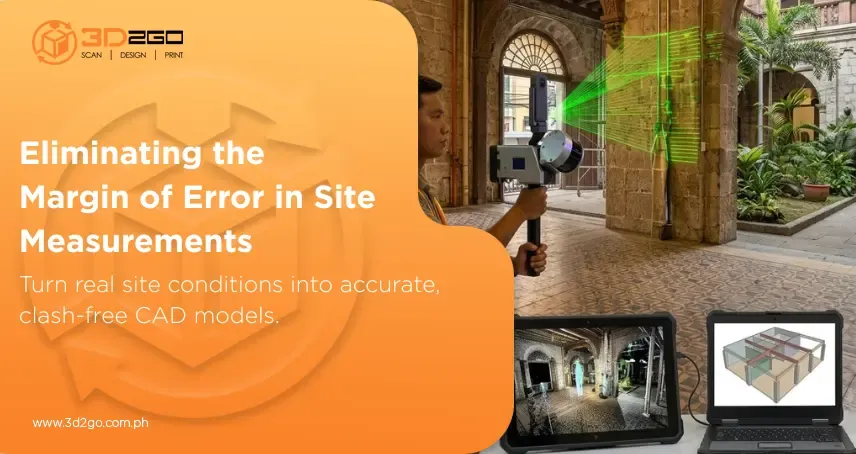
Measuring commercial developments, sprawling factories, or heritage structures with manual tape measures and old-school survey gear has always been a headache. Field crews spend days on-site dodging traffic, climbing precarious scaffolding, and pulling spot measurements—only to realize back at the drafting table that a critical structural offset got skipped. Those small measurement gaps snowball fast into pricey redesigns and stalled construction schedules.
While some contractors still rely on outdated field methods or send generic custom client gifts to smooth things over after a delay, modern projects demand real precision. Advanced spatial tech has completely overhauled site documentation across the country. Tapping into a modern lidar survey philippines setup gives architects, structural engineers, and project managers a way to capture millimeter-accurate spatial data in a fraction of the time traditional surveying takes.
The True Cost of Inaccurate Building Measurements
Traditional manual surveys leave way too much room for human error. When you’re measuring tight urban lots or old structures without reliable blueprints, a single miscalculated elevation or unrecorded pipe center point creates massive headaches down the road.
When initial measurements miss the mark, the real consequences hit during site installation:
- Prone to Field Modifications: Structural steel or custom glass panels land on-site only to miss their mounting points by centimeters, forcing technicians to cut, weld, and patch materials on the fly.
- Unplanned Budget Inflation: Extra material orders and extended labor hours eat up project contingency funds fast.
- Avoidable Schedule Slippage: Construction crews sit idle waiting for revised CAD drawings, pushing back your entire handover date.
Relying on a professional lidar survey philippines team cuts these risks out before ground is even broken. According to a study, ineffective site data management and spatial measurement errors cost the capital facilities industry $15.8 billion annually, with $10.6 billion of that financial burden falling directly on facility owners and operators during pre-construction and engineering retrofits.
How LiDAR Technology Works for Building Capture
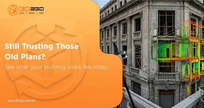
Light Detection and Ranging (LiDAR) uses rapid laser pulses to calculate exact physical distances between the scanner and surrounding surfaces. Scanning hardware fires hundreds of thousands of light pulses per second that bounce off walls, beams, utility conduits, and structural columns.
The result is a dense, high-precision “point cloud”—a 3D spatial map made up of millions of exact coordinate points. Here is why adopting a lidar survey philippines strategy outperforms older survey tools:
- Sub-Millimeter Accuracy: High-end optical laser scanners capture fine structural details, organic curves, and tight mechanical setups that standard total stations miss.
- Complete Spatial Coverage: Scanners capture everything in their line of sight, meaning zero repeat trips back to the site for forgotten measurements.
- Non-Contact and Safe Capture: Technicians can safely measure high ceilings, unstable heritage facades, and hazardous industrial plants from ground level without touching scaffolding.
Key Applications Across Philippine Industries
Spatial capture technology isn’t limited to massive civil infrastructure. Sectors across the country rely on lidar survey philippines services to streamline planning and design:
- Architecture and Real Estate: Converting physical building layouts into accurate As-Built CAD drawings and Building Information Models (BIM) for retrofits and interior renovations.
- Industrial and Plant Engineering: Mapping complex piping networks, structural steel, and machinery layouts inside power plants and factories to verify clearances before bringing in new gear.
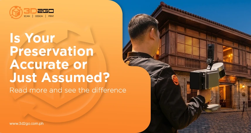
- Heritage Preservation: Documenting historical landmarks and churches down to the smallest detail without physically touching or damaging fragile stone surfaces.
- Land and Site Development: Capturing steep topography, road corridors, and elevation changes quickly across tough terrain.
Using a comprehensive lidar survey philippines workflow protects teams across all these sectors from making expensive assumptions about physical dimensions.
From Raw Site Scan to Production-Ready CAD Models
Gathering laser data on-site is only half the job. Turning raw laser pulses into a usable architectural blueprint takes a disciplined engineering pipeline:
- Site Assessment and Control Setup: Technicians place physical reference targets across the site to guarantee exact volumetric alignment.
- Multi-Station Laser Scanning: The scanner moves across various indoor and outdoor stations to capture hidden angles and room pockets.
- Point Cloud Registration: Specialized software stitches individual scans into a unified, millimeter-accurate 3D spatial model.
- CAD and BIM Conversion: Skilled CAD specialists trace the registered point cloud, generating parametric 3D models, floor plans, structural sections, and elevation drawings using a dependable lidar survey philippines dataset.
- Quality Verification: The final digital model undergoes strict quality checks against physical site benchmarks to ensure complete spatial accuracy.
Adopting a structured lidar survey philippines approach ensures your design files match real-world site conditions without compromise.
Get Precision Spatial Capture with 3D2GoPH
Inaccurate site measurements shouldn’t threaten your construction budget or delay your project timeline. Choosing high-precision spatial capture gives you complete control over your design outcomes, saving time, protecting your budget, and eliminating site rework.
3D2GoPH provides complete 3D digital solutions across the Philippines. Equipped with high-precision laser scanners, advanced CAD modeling software, and industrial 3D printing equipment, our team converts physical buildings, structural sites, and mechanical parts into clean, production-grade digital models.
Tired of measuring twice and still getting fitment errors on-site? Skip the guesswork and get exact CAD models built directly from your physical setup. Share your project specs with our engineering team today, and let’s bring your physical assets into the digital world with complete precision!