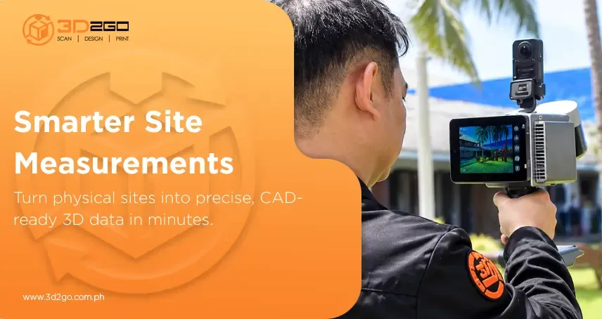
Finishing a 3D laser scan on a job site feels remarkably fast. In just a few hours, field technicians walk through a commercial property, high-rise office floor, or industrial facility and capture every physical detail down to the millimeter. But once the tripods are packed away and the crew leaves the site, a common question pops up: what actually happens to all that captured data?
Raw scan files aren’t plug-and-play CAD drawings. They start out as massive digital files containing millions—sometimes billions—of individual spatial measurements. Translating those raw scans into usable site documentation requires multi-stage 3D spatial data processing to convert raw field dots into clear structural layouts. Understanding how LiDAR point cloud data moves from field capture to finished technical plans helps architects, engineers, and project managers make informed decisions for their building projects.
Understanding the Raw Scan File: What Is Point Cloud Data?
When a LiDAR unit scans a space, it fires hundreds of thousands of eye-safe laser pulses per second. Each time a pulse hits a surface—whether it’s a concrete column, a door frame, an overhead pipe, or a drywall seam—the sensor measures the exact distance and calculates an X, Y, and Z coordinate in 3D space.
Together, these spatial coordinates create LiDAR point cloud data.
Think of a point cloud as a dense digital “dust cloud” shaped exactly like the physical room. Every single dot represents a physical surface hit by the laser. Depending on the scanner model, these points may also include RGB color values captured by built-in cameras, giving the point cloud a photorealistic look when viewed on a monitor.
At this initial stage, however, the software doesn’t know the difference between a load-bearing column and a temporary storage box. It simply sees points in space, which brings us to the processing pipeline.
Step 1: Registration – Stitching Multiple Scans Together
A single stationary scan only captures what the laser can directly see. If a scanner sits in the middle of an office floor, it cannot see through walls or look behind large equipment. To cover an entire building, technicians set up the scanner at multiple positions across rooms, hallways, and stairwells.
Once back in the office, technicians begin registration:
- Target and Cloud Matching: Specialized alignment software analyzes overlapping zones between adjacent scan positions, using fixed target spheres or shared structural features to link individual scans together.
- Georeferencing: If the project requires real-world coordinates, scan setups link to ground control points to establish absolute global positioning.
- Cleaning and Noise Removal: Technicians filter out unwanted digital noise, such as moving workers, traffic, or stray reflections caused by glass and mirrors.
Once registration finishes, separate scan files merge into one seamless, unified dataset. A clean LiDAR point cloud dataset gives your design team a single, reliable reference for the entire building envelope.
Step 2: Extracting Features and Measuring Spatial Layouts
With a fully registered dataset, project teams can explore site conditions digitally. Instead of sending field crews back out to take missed measurements with a manual tape, designers work directly inside the 3D point cloud environment.
During feature extraction, technicians analyze LiDAR point cloud data to identify critical structural elements:
- Slab and Wall Geometry: Identifying actual wall thicknesses, floor levelness, and structural column locations.
- Overhead Clearances: Measuring distance from floor to ceiling joists, ductwork, and structural beams.
- Mechanical, Electrical, and Plumbing (MEP): Tracing visible pipe runs, conduit lines, and HVAC duct networks without climbing ladders or removing ceiling tiles.
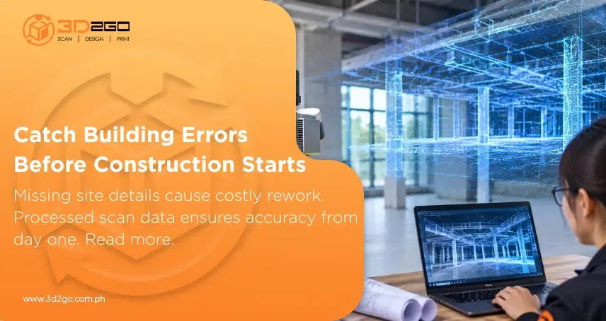
Research shows inaccurate or incomplete data causes construction rework. Processing LiDAR point clouds into accurate CAD and BIM deliverables gives project teams a reliable digital record of existing conditions, helping them identify clashes and measurement gaps before they become costly field changes.
Step 3: Converting Scans into CAD Drawings and BIM Models
A point cloud is a rich spatial reference, but architects and contractors still need traditional deliverables like 2D DWG files or 3D parametric models to create construction documents.
This transition from raw point data to vector geometry involves converting spatial points into CAD assets:
1. Generating 2D CAD Floor Plans and Elevations
Drafting technicians take horizontal and vertical slices through the LiDAR point cloud data inside drafting software like AutoCAD. By tracing over the clear point outlines, they produce flat floor plans, reflected ceiling plans (RCPs), and wall section elevations that match exact physical conditions.
2. Building 3D BIM (Revit) Models
For projects using Building Information Modeling, modelers import the point cloud into software like Autodesk Revit. They build intelligent 3D parametric components—walls, doors, windows, pipes, and beams—directly over the 3D points. This creates a smart digital twin where every element carries real dimensions and data attributes.
3. Deviation Analysis and Clash Detection
Engineers overlay proposed structural designs on top of existing LiDAR point cloud data to spot physical collisions on-screen before fabrication begins. Catching a ductwork clash on a monitor costs nothing; catching it on the job site halts work and inflates project budgets.
Step 4: Storage, Archiving, and Long-Term Asset Management
Once drafting and modeling wrap up, the spatial data continues to deliver long-term value for building owners and facilities managers.
Modern workflows make sharing point data straightforward:
- Lightweight Web Walkthroughs: Processing tools convert dense point files into browser-friendly 360-degree panoramic tours, letting remote clients and overseas stakeholders virtually walk the site.
- Permanent Digital Records: Storing raw LiDAR point cloud data gives facility managers a permanent digital baseline of as-built conditions for future renovations, maintenance planning, or insurance documentation.
- Facility Modifications: When a tenant moves out or a floor needs reconfiguring years down the road, designers pull up the original point data without scheduling a full re-scan.
Preserving your LiDAR point cloud data ensures your property details remain accessible whenever new design or maintenance needs arise.
4 Practical Business Advantages of Post-Scan Processing
Processing raw spatial data into clean technical deliverables brings immediate operational benefits:
- Zero Repeat Site Visits: Capturing all room dimensions in one pass means designers don’t need to return to the property to double-check missed wall measurements.
- True As-Built Accuracy: Tracing LiDAR point cloud data uncovers sagging beams, out-of-plumb walls, and unrecorded structural changes that paper blueprints miss.
- Faster Design Approvals: Converting point datasets into 2D CAD and 3D BIM models speeds up initial drafting, letting teams start design work faster.
- Fewer Construction Change Orders: Spotting spatial conflicts in the digital model prevents expensive field alterations and material waste during build-out.
Relying on processed spatial data keeps your engineering team moving forward with total confidence in their measurement base.
How to Prepare for Post-Scan File Delivery
To get maximum value out of your scan results, follow a few quick file management tips:
- Clarify Software Compatibility Early: Tell your survey partner whether your team works in AutoCAD, Revit, MicroStation, or SketchUp, so they export point data in compatible formats (.e57, .rcp, .pts).
- Specify Required Deliverables: Decide upfront if your project only needs a raw, registered point cloud, flat 2D CAD drawings, or a full 3D Revit model.
- Define Level of Detail (LOD): For BIM models, state whether you need simple structural geometry (LOD 200) or detailed MEP piping and fixtures (LOD 300+).
- Establish File Storage Systems: Point cloud datasets can range from 5 GB to over 100 GB. Ensure your team has adequate local or cloud storage ready for download.
Setting clear software standards early guarantees your LiDAR point cloud data drops smoothly into your team’s existing design setup.
Partner with 3D2GoPH for End-to-End LiDAR Services
Raw laser scans hold enormous value, but turning millions of field points into accurate CAD drawings and BIM models requires specialized processing expertise. Working with an experienced 3D partner ensures your raw scan data converts into clean, actionable project files without technical headaches.
3D2GoPH supports architects, contractors, interior designers, and facility managers across the Philippines with comprehensive spatial data solutions. As the country’s premier full-service 3D technology provider, we manage the entire spatial pipeline under one roof—from on-site laser scanning and point cloud registration to converting complex LiDAR point cloud data into precise 2D CAD floor plans, 3D Revit models, and virtual walk-throughs. Whether you are measuring a single retail fit-out or documenting a massive commercial complex, our team delivers clean, accurate, venue-ready datasets built for real-world execution.
Ready to turn raw site scans into clean design files? Contact our team today to book professional LiDAR scanning and spatial processing services for your next project!
Key Takeaways
- Raw Data Needs Processing: Point clouds capture exact spatial coordinates, but require registration and cleaning to become usable CAD plans.
- Stitching Creates Full Coverage: Merging individual scan positions builds a single, unified 3D map of the entire building.
- Direct CAD and BIM Integration: Point clouds import straight into AutoCAD and Revit, letting drafters build 2D plans and 3D models over true dimensions.
- Long-Term Digital Assets: Registered spatial files serve as permanent digital twins for future facility management, maintenance, and space planning.