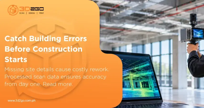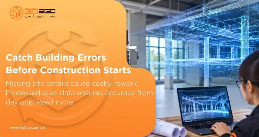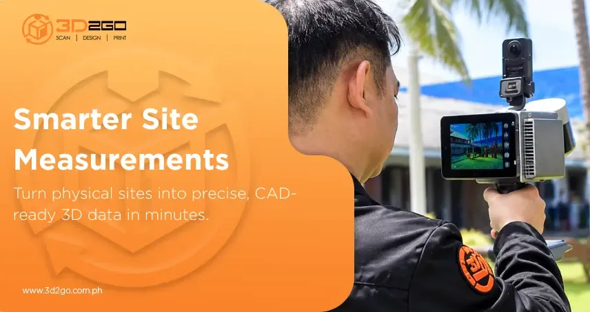
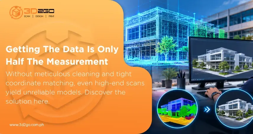
When a survey crew packs up their laser scanner or lands their drone after a long day on-site, it’s easy to think the project is practically finished. But capturing the site is really just step one. What’s sitting on those memory cards isn’t a ready-to-use 3D blueprint or a neat architectural drawing—it’s an enormous, messy pile of hundreds of millions of raw laser measurements. Turning that massive digital swarm into something your team can actually understand and work with is where professional LiDAR scanning and data services prove their worth.
A fresh laser scan looks a lot like a 3D ghost image. While it holds an incredible amount of real-world detail, it’s far too clunky, heavy, and disorganized for standard design software to handle. That’s where LiDAR data processing steps in to turn a chaotic cloud of laser dots into something you can actually build from. It cleans out the digital junk, lines up different angles, and shapes the data into clean, lightweight files that architects, engineers, and builders can open without crashing their computers.
If you’ve ever wondered what actually happens behind the screen once a scan leaves the field, here is a simple, no-nonsense look at how the post-scan magic happens.
1. Downloading the Data and Finding Exact Coordinates
Every time a scanner shoots a laser beam, it measures the split-second it takes for that light to bounce off a surface and return. That bounce gives you a distance. But to put that distance on an actual map, the computer needs to know exactly where the scanner was sitting and which way it was tilted the moment it fired.
The first phase of LiDAR data processing is bringing the files into the computer and matching them with position data. If the scan came from a drone or a moving vehicle, software combines GPS coordinates with motion sensors that track every little tilt, wobble, and turn the equipment made in the air. For stationary tripod setups, technicians confirm the scanner’s height and align it with fixed marker pins already measured on the property.
Getting these coordinates locked down right away ensures that everything built later sits on a rock-solid, true-to-life foundation.
2. Stitching the Scans Together Like a 3D Puzzle
You can rarely see an entire building or property from a single spot. Trees block facades, interior walls create blind spots, and large machinery casts visual shadows. To get the whole picture, the crew has to move the scanner around and capture the site from dozens—sometimes hundreds—of different setups.
A major milestone in LiDAR data processing is multi-scan registration, which is like solving a 3D jigsaw puzzle. The technician takes all those separate vantage points and snaps them into one seamless model using three main tricks:
- Matching physical targets: Spotting high-contrast checkerboard cards or white spheres that the crew set up around the site before scanning.
- Matching common shapes: Letting software spot overlapping features—like the corner of a slab, a distinct roofline, or a concrete pillar—to automatically click neighboring scans together.
- Locking to survey markers: Tying the combined scans to official property boundaries or GPS survey stakes.
Once this alignment is dialed in, all the separate angles merge into one complete, millimeter-accurate 3D picture of the job site.
3. Clearing Out the Clutter and Trimming File Size
Laser scanners don’t have eyes; they just record whatever their beams hit. That means they pick up plenty of things that shouldn’t be in your permanent architectural drawings—like passing cars, walking workers, stray dogs, flying birds, dust, and raindrops. These floating, disconnected specks are known in the industry as “ghosts.”
Effective LiDAR data processing always includes thorough cleaning and thinning. Special software filters sweep through the file to erase stray points floating out in mid-air. Technicians also remove tricky light reflections from windows, mirrors, or puddles, which can bounce laser beams around and make the computer think there’s a phantom room deep underground.
After cleaning, the team slims the file down. A scanner can easily gather dots spaced a single millimeter apart, creating files so huge they make regular computers lag. By evenly spacing the points—say, keeping one point every five to ten millimeters—you keep sharp edges and vital details while shedding gigabytes of unnecessary digital weight.
4. Sorting the Dots into Meaningful Layers
Once the point cloud is clean, you have a crisp 3D outline. But to a computer, it’s still just a giant bucket of dots with no real meaning. The software doesn’t automatically know whether a specific dot is part of a structural column, an overhead electrical line, or a patch of grass.
As LiDAR data processing moves into classification, smart software starts categorizing what each dot actually belongs to:
- Bare ground: Peeling away trees and man-made structures to see the true shape of the bare earth, which is vital for planning drainage and site grading.
- Trees and brush: Separating leaves and branches to check if trees are growing too close to power lines or roof edges.
- Buildings and walls: Grouping exterior walls, roofs, and structural posts together.
- Pipes and equipment: Isolating industrial piping, electrical trays, and machinery.
Once the automated tools finish sorting, an experienced technician reviews the layers by hand to make sure a low concrete wall wasn’t accidentally labeled as a bush.
5. Building Usable 3D Models and Blueprints
With everything cleaned and organized, you can finally move away from looking at dots and start working with real, solid digital shapes.
Through skilled LiDAR data processing, technicians turn these categorized points into solid surfaces and 3D digital blueprints. What you receive depends entirely on what your project calls for:
- Elevation maps: Smooth surface models that clearly show slopes, hills, and how much dirt you’ll need to dig out or bring in.
- 3D mesh models: Solid, textured 3D models that look like real-life digital replicas—great for showing clients or preserving historic landmarks.
- CAD drawings and BIM models: Draftspersons import the clean points directly into programs like AutoCAD or Revit and trace over them. This creates an exact “as-built” plan that reflects how the building stands in real life, including crooked walls, sagging joists, or shifted columns that never show up on original blueprints.
6. Checking Accuracy Before Hand-off
A gorgeous 3D model looks great on a monitor, but it’s practically useless if its measurements don’t match the physical site.
Quality control is woven into every single stage of LiDAR data processing. Technicians compare the digital measurements against physical checkpoints surveyed on the ground using high-precision instruments. If the digital model doesn’t match real-world dimensions within strict millimeter tolerances, the team readjusts the math.
Once the file passes this final inspection, it gets exported into common formats (like .E57, .LAS, or Autodesk files) so your engineers, architects, or site managers can jump right into designing without any headaches.
Why Skipping Proper Processing Costs Real Money
Putting time and care into your data isn’t an extra luxury; it’s basic insurance against expensive job site surprises. According to studies, systematically gathering and accurately processing high-resolution 3D elevation data delivers more than $690 million every single year in direct operational savings, with potential benefits reaching up to $13 billion annually by preventing engineering mistakes, improving flood management, and streamlining infrastructure jobs.
Real-world data proves that thoughtful LiDAR data processing saves massive amounts of time and cash. When project teams rely on old blueprints or unverified scans, workers often discover mid-construction that a newly delivered steel beam doesn’t fit or that piping runs directly into a duct. Fixing those blunders on-site causes delays and burns through budgets. Cleaning and modeling your scan data early catches those clashes on a computer screen months before a construction crew ever pours concrete.
Get Dependable Measurements You Can Actually Build On
A laser scanner gathers the raw puzzle pieces, but post-processing is what actually puts the puzzle together. It turns a sea of floating dots into clean, accurate, and trustworthy blueprints that keep your projects on schedule and on budget. Investing in thorough LiDAR data processing keeps your crew from making costly mistakes on-site or having to drive back for repeat measurements.
Handling this work in-house requires heavy-duty computers, expensive specialty software licenses, and years of spatial drafting experience. As the go-to team for 3D scanning, custom modeling, and reality capture in the Philippines, 3D2GoPH handles the whole process for you. We don’t just capture your site—we hand you clean, verified files ready to drop straight into your daily workflow.
Got scan files sitting around or an upcoming site that needs clean digital modeling? Skip the tech headaches and team up with the 3D2GoPH crew to turn your raw scans into project-ready models.
Frequently Asked Questions (FAQs)
1. How long does the processing stage take?
It depends on the project size. A basic cleaned and aligned point cloud is usually ready in 24 to 48 hours, while fully detailed 3D CAD or BIM architectural models can take a few days to a couple of weeks.
2. What file formats will I receive?
We deliver files that match your team’s software. This includes universal files like .E57 and .LAS, or design-ready formats like. RCP, .DWG, and .RVT for Autodesk platforms.
3. Why can’t I just use the raw, uncleaned scan files?
Raw scans are massive and contain heavy digital noise, ghost reflections, and debris. Loading them directly will lag or crash your design programs and make drafting accurate dimensions incredibly difficult.