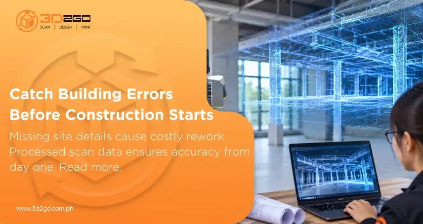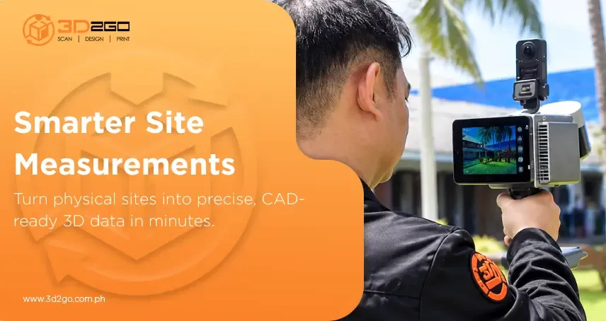
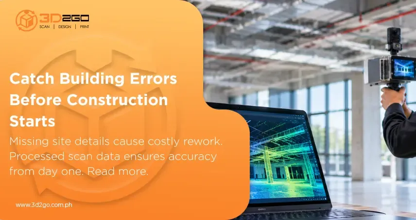
Managing complex commercial retrofits, facility upgrades, or new build-outs across Metro Manila almost always hits the same early bottleneck: capturing accurate site measurements. Sending survey crews out with handheld tape measures, laser pointers, and paper clipboards takes days—sometimes weeks. Worse still, a single missed ceiling elevation or unrecorded wall angle sends your team right back to the job site, dragging out schedules and burning through your labor budget. Relying on professional LiDAR-based site mapping lets architects, site engineers, and project leads capture comprehensive, venue-ready spatial conditions in just a single trip.
Ditching manual measuring methods gives your business a serious operational edge. A digital-first approach with LiDAR mapping speeds up initial assessments, cuts out repetitive rework, and creates a clear paper trail that keeps contractors, remote design leads, and clients on the same page from day one.
The True Cost of Old-School Field Measuring
Relying on hand tools and paper sketches might seem like the easy route during early planning, but it introduces hidden friction that slows down your entire project delivery:
- Inaccurate As-Built Blueprints: Legacy paper drawings rarely reflect true room dimensions after years of unrecorded renovations, structural settling, or rerouted plumbing and electrical lines.
- Costly Site Re-Visits: Realizing you forgot a pipe clearance or structural column height halfway through drafting wastes valuable hours in back-and-forth travel.
- Human Errors in CAD Entry: Writing down hundreds of numbers by hand inevitably leads to typos when transcribing data into software, causing expensive design clashes once fabrication starts on-site.
Deploying high-resolution LiDAR mapping removes guesswork from site surveys by firing rapid, eye-safe laser pulses that map millions of exact spatial coordinates per second.
According to spatial data accuracy guidelines established by ASTM International and technical measurement standards from the U.S. Geological Survey (USGS), terrestrial LiDAR mapping delivers millimeter-level spatial precision—capturing complete 3D structural details in a fraction of the time required by manual surveys. Bringing this level of measurement control into your initial site assessment keeps your schedule on track and prevents costly structural fixes later.
How Digital Laser Surveys Work in the Field
LiDAR (Light Detection and Ranging) uses high-speed lasers to map physical environments in real time. As field technicians move a scanner through a facility, the system measures the exact distance to every surface it hits—including walls, exposed ductwork, structural beams, and heavy machinery.
This rapid stream of spatial data creates a dense 3D point cloud. Here is how modern LiDAR mapping converts physical sites into workable digital assets:
1. Rapid Spatial Capture
Instead of spending days stretching tape measures across multi-story office floors, portable LiDAR units capture millions of coordinate points per second. Technicians scan active job sites quickly without bringing daily operations to a standstill.
2. Millimeter-Level Spatial Accuracy
Whether you are dealing with intricate ceiling trim, long commercial hallways, or dense industrial piping, LiDAR mapping catches subtle structural curves and odd angles that hand tools routinely miss.
3. Direct Integration with CAD and BIM Software
Raw spatial datasets drop straight into industry-standard design tools like AutoCAD and Revit. Your drafting team can immediately generate 2D floor plans, wall section elevations, and 3D Building Information Models (BIM) straight from true field dimensions.
4 Business Advantages of Digital Site Capture
Integrating digital spatial data into your planning workflow yields immediate practical returns:
1. Faster Project Kickoffs
Slashing site survey time from days to hours lets your design team jump straight into CAD modeling. Quicker field measurements mean faster proposal turnarounds and shorter overall project schedules.
2. Early Clash Detection
Overlaying proposed mechanical, electrical, and plumbing (MEP) designs directly onto LiDAR-generated point clouds highlights structural collisions on screen long before materials arrive on-site, saving massive change-order costs.
3. Remote Collaboration for Offsite Teams
High-resolution 3D point cloud views and virtual walkthroughs let offsite architects, remote engineers, and overseas clients inspect true site conditions digitally without booking flights or traveling to the facility.
4. Reliable Digital Archiving
Building a digital twin of your structure makes future facility maintenance, space planning, and insurance documentation painless years down the road.
Professional LiDAR mapping keeps your spatial documentation organized, precise, and fully accessible across every phase of the build.
Real-World Applications Across Industries
Different commercial sectors leverage laser-based spatial surveys to tackle specific operational bottlenecks:
- Commercial Interior Fit-Outs: Interior designers map corporate office spaces in one visit to plan custom partitions, lighting layouts, and modular furniture without disturbing current tenants.
- Historic Preservation & Renovation: Restoration teams document delicate historic facades and ornate architectural trim down to the millimeter without physically touching fragile surfaces.
- Industrial Facilities & Plants: Plant managers use LiDAR mapping to document dense equipment layouts, structural clearances, and pipe runs ahead of major machinery overhauls.
- Event Halls & Venues: Event coordinators digitize convention spaces so organizers can map out booth configurations, staging areas, and foot-traffic paths down to the inch.
Utilizing LiDAR mapping turns complex physical locations into clean, predictable digital blueprints.
Preparing Your Facility for a Digital Spatial Survey
Follow a quick pre-survey checklist to make sure your scanning run delivers clean data in a single pass:
- Clear Main Sightlines: Move temporary clutter, trash bins, or stacked boxes blocking major walls, structural columns, and door frames.
- Flag Priority Features: Point out critical structural elements to the survey crew early—such as overhead cable trays, pipe junctions, or delicate architectural trim.
- Ensure Safe, Unobstructed Access: Make sure scan locations have adequate lighting, secure footing, and clear pathways so technicians can move equipment smoothly.
- Define Your Deliverables Upfront: Decide early whether your team needs raw point cloud files, flat 2D DWG drawings, or fully parametric 3D BIM models.
Proper site prep keeps scan times fast and enables LiDAR mapping to deliver complete, accurate spatial data in one go.
Partner with 3D2GoPH for Accurate Spatial Data
Documenting large commercial or industrial sites with manual tools leaves your business open to missed deadlines, inaccurate drawings, and unexpected job-site costs. Verified digital spatial data keeps your design and build teams aligned from kickoff to hand-off.
3D2GoPH supports architects, contractors, interior designers, and facility managers across the Philippines with comprehensive spatial data solutions. As the country’s leading full-service 3D technology hub, we handle every step—from on-site laser surveys and point cloud processing to delivering ready-to-use 2D CAD layouts and 3D BIM models. Whether you need to scan a boutique retail space or document an entire industrial complex, our field team provides reliable LiDAR mapping built for real-world execution.
Don’t let manual measuring delays drag down your project schedule. Schedule your digital site survey today to get accurate, CAD-ready spatial data for your next build!
Key Takeaways
- Eliminate Survey Errors: Digital spatial capture replaces manual guesswork with millimeter-accurate 3D point data.
- Prevent Repeat Site Visits: Capturing complete structural details in one visit eliminates back-and-forth travel to double-check missing dimensions.
- Streamline CAD & BIM Production: Point cloud files import straight into AutoCAD and Revit to speed up blueprint creation.
- Protect Project Margins: Spotting spatial conflicts digitally before fabrication prevents expensive field alterations during construction.