Why Everyone Wants Home Decor That Feels One of a Kind
August 26, 2026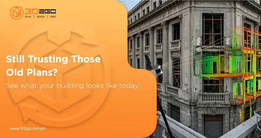
A renovation can go sideways when the drawings don’t match the building. Maybe a wall was moved years ago. Maybe an extension never made it onto the plans. Or the original drawings may be nowhere to be found.
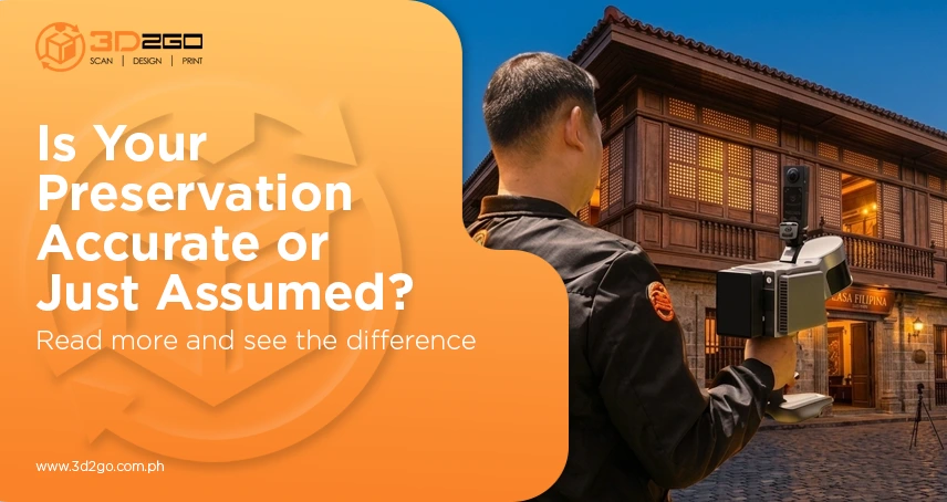
A LiDAR scanning service can capture the building as it exists today. The scanner records walls, floors, ceilings, columns, and other visible features, creating detailed digital data for planning and design.
Instead of guessing what’s there, your team can work from what the scan actually captured.
What Is a LiDAR Building Survey?
Think of it as taking thousands of measurements at once. A LiDAR scanner sends out laser pulses and records the surfaces around it. These measurements form a point cloud, which creates a digital picture of the surveyed space.
Architects, engineers, and contractors can use this data to develop floor plans, elevations, sections, 3D models, and other project drawings.
A LiDAR building survey is particularly useful when you need accurate information about an existing building before making changes.
Why Do Renovations Need Better Measurements?
Small measurement mistakes can create expensive problems. A doorway that’s wider than expected, a misplaced column, or an undocumented structure can affect the design and cause adjustments later.
A LiDAR building survey helps teams identify these details before construction begins. That gives everyone a clearer understanding of the existing space and reduces the need to rely on assumptions.
Where Can LiDAR Help?
A LiDAR building survey can support projects such as:
- Building renovations
- Interior redesigns
- As-built documentation
- Construction planning
- Property documentation
- Heritage building records
- Facility management
It’s especially helpful when existing drawings are incomplete, outdated, or unavailable.
Why Is It Useful for Older Buildings?
Older properties often have years of changes behind them. Rooms may have been remodeled, walls removed, or new structures added without updating the original plans.
A LiDAR building survey captures the current visible conditions, giving the project team a more reliable reference before redesigning the space.
It won’t replace structural inspections or other site checks, but it can give architects and engineers a much clearer starting point.
From Scan to Building Plans
The scan is only the starting point. Once the point-cloud data is processed, it can support the drawings and models your project needs.
Depending on the project, the data can help create:
- Floor plans
- Elevations
- Sections
- 3D models
- As-built drawings
A LiDAR building survey can give different teams the same digital reference, making it easier to check measurements and coordinate their work.
Why Not Measure Everything by Hand?
Manual measurements still work for simple spaces. But larger or more complicated buildings can take a lot of time to document.
LiDAR captures a large amount of spatial information in a single scanning process. If someone needs to check another measurement later, the digital data can also provide a reference without sending the team back to measure the space again.
That’s where a LiDAR building survey can save both time and effort.
Is LiDAR Becoming More Common?
LiDAR is part of a wider move toward digital building and manufacturing workflows.
A study found that more than 70% of surveyed manufacturers had integrated technologies such as data analytics and cloud computing, while many had also invested in 3D modeling and 3D scanning.
For building projects, the idea is simple: capture real-world conditions, turn them into usable digital data, and use that information to make better decisions.
When Should You Consider LiDAR?
A LiDAR building survey makes sense when:
- Your existing plans are outdated
- The building has a complex layout
- You need detailed as-built information
- You’re planning a major renovation
- Several teams need the same site data
- You want a digital record for future projects
It’s not necessary for every project. But when accurate existing measurements matter, it can provide a much stronger starting point.
Build From What Actually Exists
Good renovation plans start with good information. A LiDAR building survey captures the building as it stands today, giving architects, engineers, and contractors reliable digital data to work from.
3D2GoPH can help capture your existing building with LiDAR scanning and turn the scan data into useful digital information for your next project.
Working on an existing building? See how LiDAR scanning can give your project a clearer starting point.