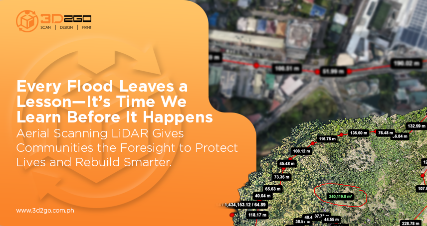
How Aerial LiDAR Scanning Is Used for Flood Risk Assessment and Disaster Preparedness in the PH
October 10, 2025
3D Scanning Services in Philippine Manufacturing: The Secret to Accuracy and Productivity
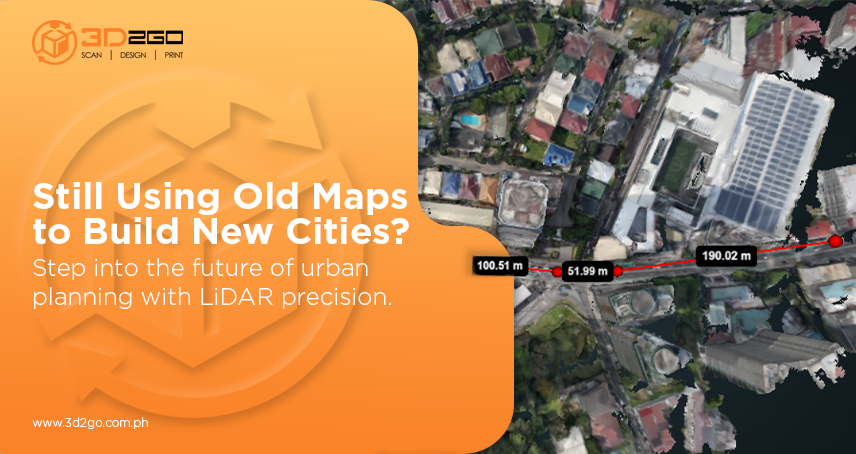
October 24, 2025Urban growth in the Philippines isn’t slowing down anytime soon. Cities are expanding faster than planners can map them, and old surveying methods just can’t keep pace. That’s why more developers, engineers, and even local governments are turning to land scanning using LiDAR, a breakthrough approach that transforms how we understand and build our environments.
This isn’t just another tech upgrade. It’s a complete shift in how city planning is done—smarter, faster, and data-driven. LiDAR scanning services capture precise, three-dimensional maps of land and structures, providing planners with an exact digital model of reality. That means fewer assumptions, fewer delays, and better decisions before a single foundation is laid.
Why LiDAR Scanning Services Are Changing the Game
Traditional surveying had its time—but it’s limited by manpower, weather, and accessibility. If you’ve ever managed a large-scale project, you know how costly those limitations can be.
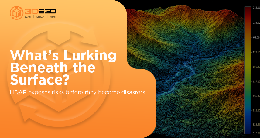
LiDAR scanning services eliminate most of those challenges. By using thousands of laser pulses per second, LiDAR sensors collect accurate elevation data from the air—whether mounted on a drone, airplane, or vehicle. The result is a highly detailed point cloud that can be turned into 3D terrain models, topographic maps, and infrastructure blueprints.
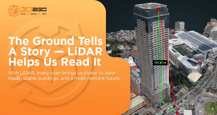
This technology doesn’t just record what’s visible—it captures everything beneath the canopy and around structures, making it invaluable for urban planners and developers of smart cities.
The Core Advantages of LiDAR Scanning Services in Smart City Planning
Here’s how LiDAR makes a difference in real-world city projects:
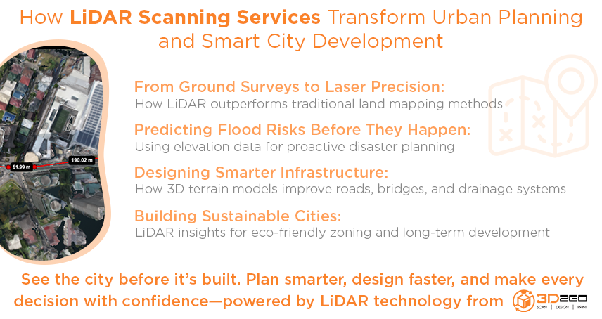
- Flood Risk Mapping – It identifies low-lying zones and flood-prone areas, enabling planners to design preventive drainage systems before problems arise.
- Infrastructure Design – By integrating LiDAR data into zoning maps, engineers can plan roads, utilities, and structures more efficiently, minimizing land conflicts.
- Environmental Mapping – LiDAR captures vegetation height and density, helping cities strike a balance between urbanization and green spaces.
- 3D City Models – Planners can simulate new developments in 3D to predict their impact on traffic, sunlight, and airflow.
- Urban Monitoring – LiDAR scanning tracks changes in land elevation and growth over time, supporting sustainable long-term planning.
The Growing Role of LiDAR in Modern Cities
Urban challenges in the Philippines extend beyond congestion and poor drainage. They’re also about visibility—knowing where problems start before they happen. LiDAR gives that clarity.
According to a study, the global LiDAR market is projected to grow from USD 3.27 billion in 2025 to USD 12.79 billion by 2030, with an impressive annual growth rate of 31.3%. That’s because more industries—from construction to climate management—are realizing the vital role LiDAR plays in decision-making and risk reduction.
In short, lidar scanning services aren’t a luxury anymore—they’re a necessity for anyone serious about data-driven planning and sustainable development.
Tangible Benefits That Drive ROI
When cities or private developers invest in LiDAR, they’re not just buying scans—they’re investing in speed, accuracy, and foresight.
Here’s what that looks like in practice:
- Reduced On-Site Time – No more weeks of manual measuring; LiDAR can cover large sites in hours.
- Early Error Detection – Identify discrepancies before construction starts, preventing rework and budget overruns.
- Improved Cost Estimates – Generate more reliable earthwork calculations and infrastructure plans.
- Smarter Resource Allocation – Use data insights to prioritize projects and reduce material waste.
- Enhanced Collaboration – Share accurate 3D data among engineers, architects, and planners with ease.
When done right, lidar scanning services help teams work faster, reduce costs, and prevent design flaws—making every peso count.
Real Projects, Real Impact
Across the Philippines, local governments and private developers are increasingly utilizing LiDAR data for more informed city planning.
Some have mapped flood-prone areas for disaster response planning. Others have used LiDAR to model transport systems and optimize road networks.
The common denominator? These projects save both time and money while promoting long-term resilience. With LiDAR, data becomes the bridge between vision and reality.
Getting Started with LiDAR Scanning Services
For planners or organizations looking to explore LiDAR, the process is straightforward when you partner with the right team:
- Set Clear Goals – Define your purpose, whether for flood mapping, zoning, or infrastructure design.
- Plan the Data Capture – Choose between aerial, mobile, or terrestrial LiDAR depending on your site.
- Process and Analyze Data – Convert point clouds into actionable maps, 3D models, and insights.
- Integrate Findings – Utilize GIS or BIM tools to incorporate LiDAR data into planning workflows.
- Monitor Changes Over Time – Schedule periodic scans to stay up-to-date and improve planning forecasts.
Each step brings you closer to efficient, transparent, and future-ready city development.
The Future Is Clear with 3d2goPH
In an era where every decision counts, clarity is power. LiDAR scanning services bring that clarity—transforming uncertainty into measurable insight.
At 3d2goPH, we don’t just provide LiDAR scans; we deliver actionable, data-driven solutions that help planners, developers, and local governments make more intelligent choices. Our expertise in land scanning using LiDAR ensures accuracy, speed, and scalability—regardless of project size.
So before your next urban project takes shape, ask yourself: Do you have the complete picture? If not, now’s the time to get it. Reach out through 3d2goPH’s contact page and discover how our LiDAR expertise can bring your city’s vision to life.


