3D Scanning Services in Philippine Manufacturing: The Secret to Accuracy and Productivity
October 24, 2025
Why Affordable 3D Printing Services Are the Key to Prototyping on a Budget
November 7, 2025When it comes to infrastructure, one question often decides everything: can it survive the next quake?
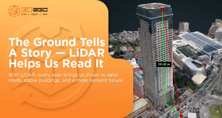
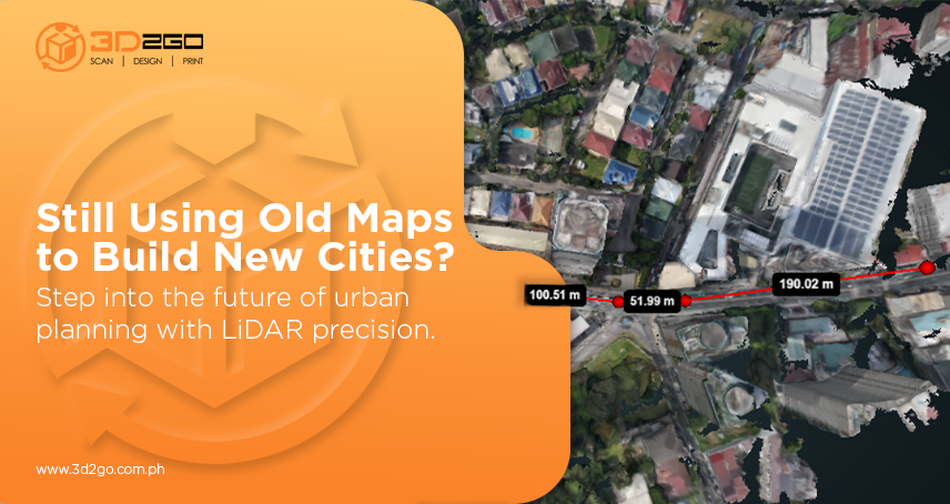
In a country like the Philippines, where fault lines crisscross the land, earthquake resilience isn’t just a design goal—it’s a survival strategy. That’s why more engineers and developers are turning to aerial scanning LiDAR, a game-changer that transforms how we build and plan.
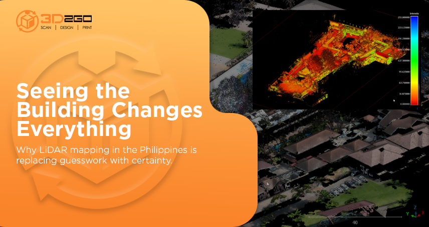
Using aerial LiDAR points, experts can capture terrain details invisible to traditional survey methods. It’s not about scanning for the sake of data—it’s about gaining foresight. It’s how you spot risks before they become real threats.
Why Aerial Scanning LiDAR Is a Game-Changer
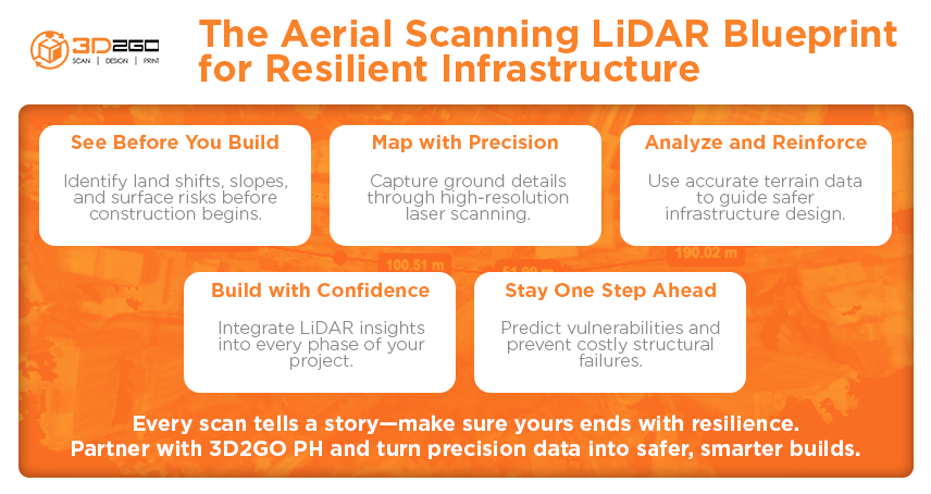
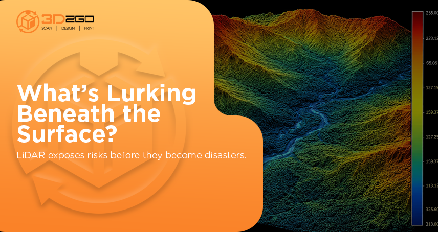
Traditional surveys can only tell you so much. They’re limited by time, terrain, and human error. But with aerial scanning LiDAR, every inch of the landscape is mapped with laser precision. From slopes and ground elevations to hidden fault traces, it captures details crucial for earthquake-resistant planning.
Here’s how it changes the playing field:
- Faster project insights: What used to take weeks can now be done in hours.
- More accurate data: Laser precision means fewer assumptions and less guesswork.
- Better decisions: Real terrain data helps planners design smarter, safer foundations.
In a seismic nation like ours, knowing what lies beneath is the first step to building resilience above.
Where Safety Meets Smart Design
Earthquake resilience isn’t about overbuilding—it’s about understanding the land before laying a single brick. Aerial scanning LiDAR allows planners to create 3D maps that simulate how structures and terrain might respond during seismic activity.
It provides the clarity engineers need to make smarter choices, whether that’s repositioning a site, reinforcing foundations, or rerouting infrastructure to safer zones.
When used right, it’s not just mapping—it’s foresight in action.
From Data to Disaster Preparedness
Aerial scanning LiDAR isn’t just useful before construction—it’s invaluable after one. Post-earthquake assessments become faster and more reliable. Damaged areas can be mapped in real time, helping local authorities prioritize recovery efforts.
This technology bridges the gap between disaster prevention and recovery. It empowers decision-makers with information that saves not just costs—but lives.
When used across cities, it establishes a robust data foundation to inform long-term resilience planning.
The Strategic Edge with 3d2goPH
At 3d2goPH, we see LiDAR as more than technology—it’s a strategy. Our aerial scanning LiDAR services combine top-tier tools with real-world expertise to help developers, engineers, and government planners minimize seismic risks.
We deliver more than point clouds—we provide perspective. From fault mapping to elevation modeling, every project we handle is geared toward one goal: safer, data-driven infrastructure that stands the test of time.
The Better Move Forward
Earthquakes can’t be stopped—but their impact can be reduced. The best protection is preparation built on precision.
If your next project demands strength, accuracy, and foresight, it’s time to look higher—literally. Partner with 3d2goPH and discover how aerial scanning LiDAR turns uncertainty into control.


