CNC Machining in the Philippines
March 23, 2023Discover the Power of 2D CAD Documentation: A Comprehensive Guide
May 30, 2023Thanks to 3D Aerial Scanning and Mapping, it is now feasible to perceive the world from a bird’s point of view and procure detailed and accurate information regarding any topography, infrastructure, or setting.
This breakthrough technology has transformed how we gather, scrutinize, and employ data, delivering invaluable perceptions previously beyond reach.
In this article, we will delve into the merits and uses of 3D Aerial Scanning and Mapping and how they have the potential to revolutionize a plethora of industries.
If you want to see the world from a different angle, use 3D2GO’s 3D Aerial Mapping and Scanning service.
To schedule your 3D aerial mapping experience, visit our website right now!
What is 3D Aerial Scanning and Mapping?
The revolutionary 3D Aerial Scanning and Mapping technology has completely transformed how data is collected, creating high-resolution images for vast areas.
Employing sophisticated drones or aircraft to capture images from various angles, this technology offers a comprehensive view of an area of interest.
The captured images are then fed into specialized software that processes the data, creating an incredibly detailed and accurate 3D map of the area.
Such a level of detail and accuracy is beyond traditional methods, making 3D Aerial Scanning and Mapping a tool that professionals in various industries cannot do without.
The 3D models generated through this technology have various applications, from urban planning to construction, agriculture, mining, and surveying.
By providing detailed and accurate 3D models, this technology enables professionals to make well-informed decisions about their projects, saving valuable time and resources while increasing overall efficiency.
In summary, 3D Aerial Scanning and Mapping technology has opened up new horizons for professionals in various industries, offering an unparalleled level of accuracy and detail previously unattainable.
With the continued development of this technology, we can expect even more incredible applications and benefits to emerge in the years ahead, marking a new era in data collection and image creation.
Benefits of 3D Aerial Scanning and Mapping
3D Aerial Scanning and Mapping technology brings numerous benefits that can aid businesses and organizations in making well-informed decisions and streamlining their operations.
Here are some of the advantages of this technology:
Precision: 3D Aerial Scanning and Mapping technology provides unmatched accuracy and precision in data collection, facilitating highly detailed and reliable information about an area of interest.
Efficiency: By utilizing drones or aircraft for data collection, this technology minimizes the time and resources required for traditional methods like ground surveys or manual measurements.
Cost-effectiveness: 3D Aerial Scanning and Mapping technology can significantly reduce costs for businesses and organizations by reducing the need for manual labor and equipment.
Applications of 3D Aerial Scanning and Mapping
The sheer flexibility and adaptability of 3D Aerial Scanning and Mapping technology enable it to cater to a wide range of diverse and heterogeneous applications that cut across multiple industries.
The complexity and sophistication of the technology empower it to deliver an array of high-level functionalities that can provide substantial benefits to stakeholders.
Here are some examples:
-
Urban Planning and Construction
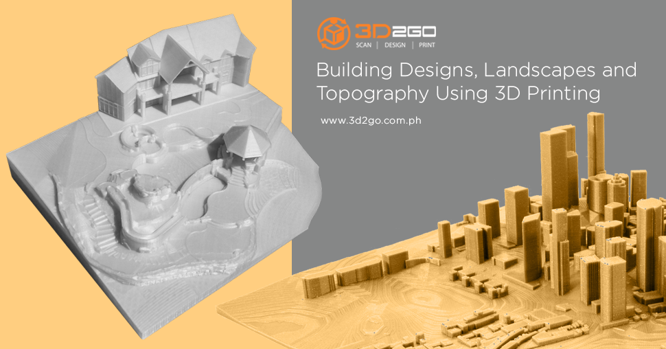
In urban planning and construction, 3D Aerial Scanning and Mapping technology can generate detailed, intricate, and accurate 3D models of cities and buildings.
This technology can facilitate architects and engineers in the design and planning of projects with superior efficacy and minimal errors or conflicts.
Moreover, the technology can offer stakeholders a more sophisticated outcome visualization.
-
Agriculture
In the arena of agriculture, 3D Aerial Scanning and Mapping technology possesses the ability to supervise and monitor crops, soil, and water resources.
By capturing high-resolution images of farmland and scrutinizing the data obtained, farmers can make data-driven and, thus, informed decisions.
The technology empowers farmers to make informed decisions about irrigation, fertilization, and pest control, resulting in increased yields, reduced costs, and better environmental sustainability.
-
Mining
3D Aerial Scanning and Mapping technology can create detailed and accurate 3D models of mines, tunnels, and excavations in mining.
This capability enables mining companies to optimize operation planning and execution while identifying potential hazards and allocating resources.
Thanks to this technology, mining companies can achieve greater operational efficiency while reducing risk and uncertainty.
-
Surveying
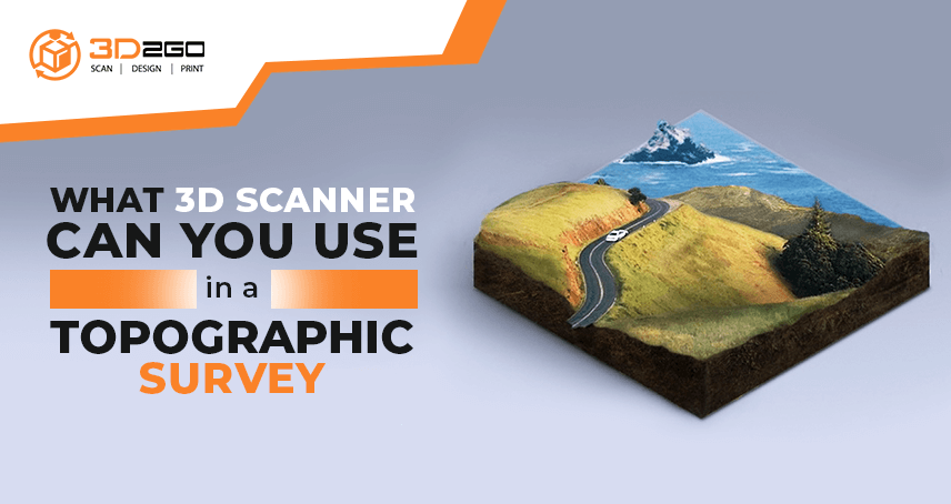
3D Aerial Scanning and Mapping technology can collect precise and reliable data about terrain, infrastructure, and property boundaries in surveying.
The technology empowers surveyors to create detailed maps and models for diverse purposes, such as land development and property.
Advancements in 3D Aerial Scanning and Mapping Technology
Rapid progress in recent years has resulted in many improvements to 3D Aerial Scanning and Mapping technology. Some of the most noteworthy developments include:
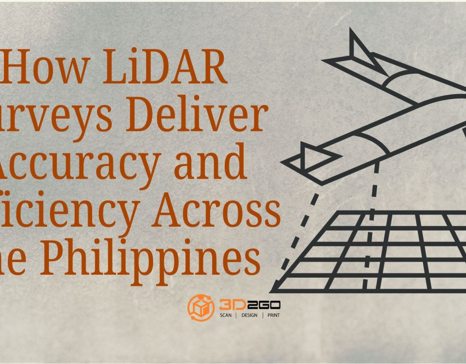
- Light Detection and Ranging (LiDAR) technology uses lasers to precisely measure distances, resulting in even more accurate information for 3D models. The reliability of this technology is a significant factor in its rising popularity.
- Processing power and software advancements have allowed for real-time data processing, allowing businesses to receive and analyze data in near real time. This technology can significantly benefit time-critical operations, such as emergency response.
- Artificial intelligence: 3D Aerial Scanning and Mapping technology’s AI algorithms can automate the analysis process for incredible speed and efficiency. Decisions can be made with greater precision and knowledge thanks to AI’s ability to spot trends and outliers in the data.
Height, Angular, Area, and Distance Measurement in 3D Aerial Mapping
The capability to acquire and scrutinize data in previously unattainable manners is among the most important advantages of 3D Aerial Mapping.
The acquisition of height, angular, area, and distance measurements is paramount across various industries. 3D Aerial Mapping technology can furnish accurate and precise measurements for each parameter.
Height Measurement:
The quantification of vertical distance is fundamental in diverse fields, including but not limited to construction, urban planning, and engineering.
Implementing 3D Aerial Mapping facilitates the acquisition of precise height measurements for buildings, structures, and terrain, thereby enabling meticulous planning and analysis.
Angular measurement:
The optimization of crop growth and yield is of utmost importance in the field of agriculture.
Angular measurement can facilitate farmers in ascertaining the optimal amount of sunlight exposure and irrigation needed for each specific area.
Using 3D Aerial Mapping technology, precise angular measurements of crops can be obtained, thereby empowering farmers to optimize their crop yields.
Area Measurement:
Accurate area measurements are paramount in various industries, including mining and forestry, as they enable precise analysis and planning.
3D Aerial Mapping technology facilitates precise area measurements for land, forests, and mines, thereby empowering the industry to make well-informed decisions.
Distance Measurement:
Accurate measurement of distance is of utmost importance in various industries such as construction, transportation, and logistics.
3D Aerial Mapping technology enables the acquisition of accurate distance measurements pertaining to roads, bridges, and buildings, thereby facilitating meticulous planning and analysis.
The implementation of this technology has the potential to enhance operational efficiency by mitigating the potential risks associated with inaccuracies and errors.
So, how Can These Factors Help Businesses?
In today’s technological era, businesses are adopting innovative solutions to improve their operations and stay ahead of the competition.
One such technology that is proving highly beneficial is 3D Aerial Mapping.
Its precise measurements from a bird’s-eye view are revolutionizing how businesses operate across multiple industries.
Construction companies are among the primary beneficiaries of 3D Aerial Mapping technology. Companies can plan and execute their projects with greater precision and efficiency by providing accurate measurements for building sites.
The agriculture industry is also reaping the benefits of 3D Aerial Mapping, with farmers using the technology to measure the angles of their crops and optimize irrigation for higher crop yields.
In the mining industry, 3D Aerial Mapping is helping to optimize operations by providing accurate area measurements and analysis of resources.
Similarly, in urban planning and transportation, the technology provides precise height and distance measurements, allowing for more effective planning and zoning and transportation and logistics optimization.
Overall, the versatility and accuracy of 3D Aerial Mapping technology make it an essential tool for businesses seeking to gain a competitive edge in their industries.
As more companies embrace this technology, we expect to see even more innovative applications and use cases emerge, further transforming how businesses operate in the 21st century
Check out our website to learn how 3D aerial Mapping can help your business. We provide 3D scanning and mapping services, and our experts can explain how this technology can improve your operations.
Contact us to set up a consultation and take the first step towards transforming your business with 3D aerial Mapping.
FAQs
Question: What is the cost of 3D Aerial Scanning and Mapping technology?
Answer: The cost of 3D Aerial Scanning and Mapping technology is subject to variation based on the magnitude and intricacy of the project in question. Nevertheless, it is worth noting that this state-of-the-art technology is comparatively more cost-effective than traditional methods, owing to its unparalleled speed and efficiency.
Question: Is 3D Aerial Scanning and Mapping technology challenging to use?
Answer: Though it may seem like a daunting task to grapple with the complexity of the technology, it is, in fact, relatively uncomplicated to operate. As a result, businesses can hire trained professionals to undertake data collection and analysis on their behalf or invest in their equipment and training to get a more hands-on approach.
Question: What industries can benefit from 3D Aerial Scanning and Mapping technology?
Answer: 3D Aerial Scanning and Mapping technology is a veritable boon to various industries, including construction, agriculture, mining, and urban planning. With such a wide range of applications, it is no wonder that this technology is gaining traction and revolutionizing how we approach tasks in these sectors.
Question: How long does it take to complete a 3D Aerial Scanning and Mapping project?
Answer: The time required to complete a 3D Aerial Scanning and Mapping project depends on the size and complexity of the area being mapped and the desired level of detail. Small projects may take only a few hours, while larger projects could take several days or weeks to complete.
Question: What is the accuracy of 3D Aerial Scanning and Mapping technology?
Answer: 3D Aerial Scanning and Mapping technology can achieve high levels of accuracy, with sub-centimeter accuracy possible in some cases. However, the accuracy of the data collected depends on several factors, including the type of equipment used, the flight altitude, and the data processing techniques employed.
Question: What is the difference between 2D and 3D aerial Mapping?
Answer: 2D aerial Mapping provides a top-down view of an area, while 3D aerial Mapping creates a 3D model of the area, including height information, and more. This means that 3D aerial Mapping can provide the following:
- More detailed and accurate information.
- Making it ideal for tasks such as creating topographic maps.
- Measuring volume.
- Monitoring changes over time.
Question: Can 3D Aerial Scanning and Mapping technology be used to inspect buildings and infrastructure?
Answer: es, 3D Aerial Scanning and Mapping technology can inspect buildings and infrastructure, such as bridges and dams. By using drones or other UAVs equipped with high-resolution cameras, inspectors can capture detailed images of structures, enabling them to identify potential defects or areas of concern.
Question: Is 3D Aerial Scanning and Mapping technology environmentally friendly?
Answer: Yes, 3D Aerial Scanning and Mapping technology can be considered environmentally friendly as it reduces the need for ground-based equipment and vehicles, which can emit greenhouse gases and contribute to environmental degradation. Additionally, this technology can reduce the environmental impact of construction, mining, and other industries by improving efficiency and reducing waste.


