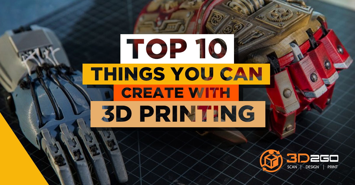
Top 10 Cool and Practical Products You can 3D Print
May 24, 2022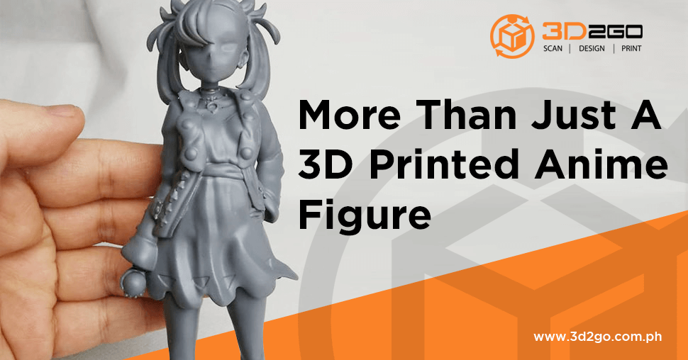
More Than Just A 3D Printed Anime Figure
May 24, 2022How does laser scanning services work?
Scanners use laser line probes that consist of small laser dots aligned in rows. The laser dots are then projected onto a surface. It is being read by a camera that is already aligned at a small angle to the laser.
Laser scanning does not provide an infinite number of points but rather a very high quantity. The areas between the dots are not captured. It is because the spacing between laser dots represents the resolution of the scan. The closer the spacing, the better the resolution.
Process of 3D2GO’s aerial survey
At 3D2GO, we are able to offer our scanning services even off our site. Our scanner is portable and gives us the freedom to expand our offer to almost anywhere in the country.
Before utilizing our scanning services, we want you to understand the basics.
What are aerial survey sensors exactly?
Basically, an aerial survey is a method of collecting geomatics or other imagery. It is being done by using aerial methods such as:
- Airplanes
- Helicopters
- UAVs
- Balloons
Typical types of data collected include:
- Aerial photography
- Lidar
- Remote sensing
- Geophysical data
Aerial surveys need a sensor. This is then fixed to the interior or the exterior of the airborne platform. It should have a line-of-sight to the target it is sensing.
Aerial survey systems are typically operated with the following:
Flight navigation software
Directs the pilot in flying with the desired pattern for the survey.
GNSS
Combination of GPS and inertial measurement unit (IMU). This provides the position and orientation information for the data.
Gyro-stabilized mount
This counters the effects of aircraft roll, pitch, and yaw.
Data storage unit
Save the data that is being recorded.
Typical lidar uses
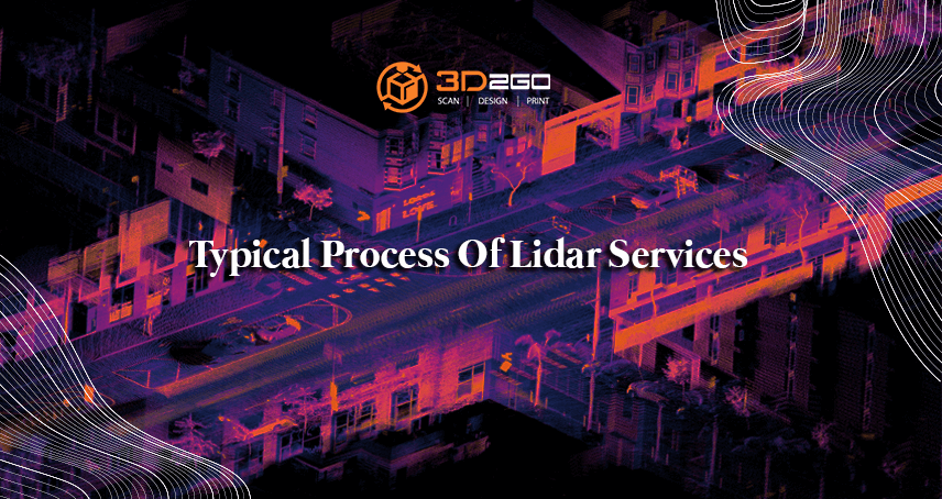
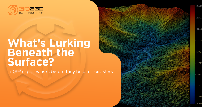
Lidar stands for Light Detection and Ranging. It is a remote sensing method. The light is being used in the form of a pulsed laser to measure ranges to the Earth. These light pulses then generate 3D information about the shape and surface characteristics. Lidar-generated products to examine both natural and manmade environments.
The data collected support:
- Inundation and storm surge modeling
- Hydrodynamic modeling
- Shoreline mapping
- Emergency response
- Hydrographic surveying
- Coastal vulnerability analysis
Lidar-generated products to examine both natural and manmade environments.
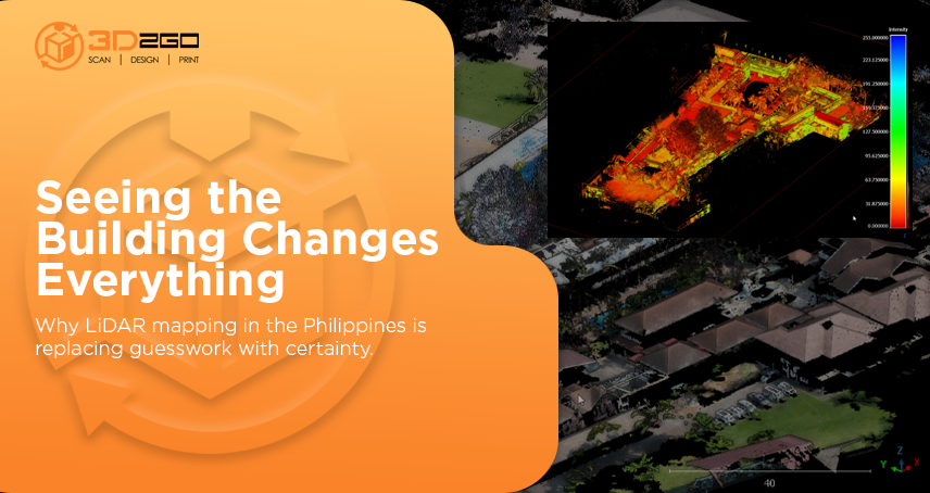
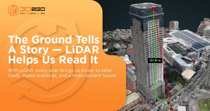
3D2GO uses a high definition scanning technology. As a result, we offer the best quality of lidar scanning services. We offer these to anyone in need especially project managers, engineers, and architects. They will be able to better visualize the 360 conditions of any facility or site.
We are able to offer our scanning services even off our site. Our scanner is portable and gives us the freedom to expand our offer to almost anywhere in the country.
At 3D2GO, we offer end-to-end services. Worried after the scanning? Don’t bother looking anywhere else because we can cover other services. 3D modeling? 3D printing? 3D scaling? We’ve got it all covered. You can save time contacting others. Instead, use that time to work on other projects as we take our next steps with you.
Get in touch with us by sending us files in .obj or .stil format in our email address management@my3d.com.ph. You can also reach us through our Facebook and Instagram pages today!


