5 Benefits Of 3D Furniture Rendering Services With Antiques
May 17, 2022
Unmask The Jedi In You With 3D-Printed Action Figures
May 18, 2022Is it possible for DIY laser scanning services for aerial pilots?
3D scanning is practically expensive. But of course, 3D2GO would want to do everything 3D for you so we could always reach a compromise on the price once you ask for a quotation.
But did you know that you can make use of an ordinary camera? Just add some clever software. As a result, you can have your own 3D scanning camera. No need to invest in new equipment. All you need is a regular 2D camera and some whack techniques!
There are smaller details to consider. Because you are basically using already existing equipment, there is going to be a need to practice. This enables optimizing the scan.
Listed below are some of the accessories for 3D scanners:
CALIBRATION PANELS
Create precise scans by calibrating the scanning software with these glass panels. Works flawlessly with all HP and David Vision Systems 3D Scanners
DAVID LASERSCANNER PRO EDITION 3
This software allows inexpensive 3D scanning of surfaces. All you need is
- Video camera
- Line laser
- A “corner” as background
SLS CAMERA
Captures 25 frames per second at a resolution of 1280 x 960 px
What does an aerial survey pilot do?
An aerial survey pilot utilizes mapping or photographic equipment while operating an aircraft.
As survey pilots, they fly over assigned areas and capture images. They may also record data for surveying or data collection purposes.
Their duties include:
- Determining the best path to obtain the required images
- Checking equipment to ensure they all work properly
- Coordinating with air traffic control to carry out a flight plan.
While flying, they may also need to trigger sensors or turn on equipment over a designated area, fly an operator in your aircraft, or carry remote-controlled or automated sensing equipment. Survey pilots often fly in fixed-wing aircraft. Though some positions require them to operate a helicopter.
Lidar uses for aviation industries
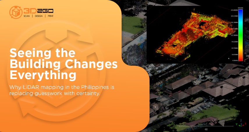
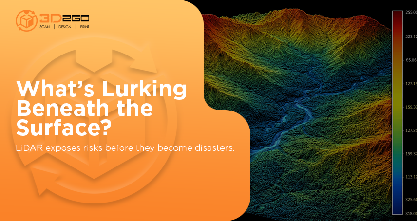
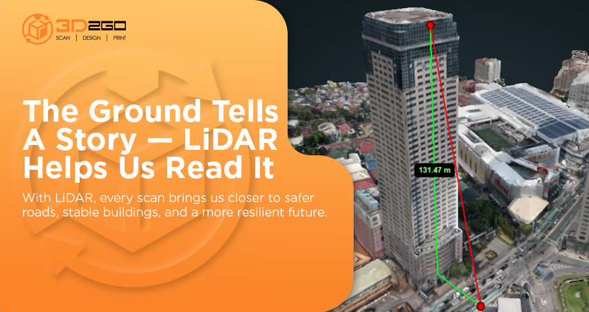
LIDAR (Light Detection And Ranging) is an optical remote sensing technology. It measures properties of scattered light to find the range and/or other information of a distant target.
In aviation, LIDAR equipment has been used to detect the presence of Microburst, Volcanic Ash, and Wake Vortex Turbulence.
3D2GO uses a high definition scanning technology. As a result, we offer the best quality lidar scanning services. We offer these to anyone in need even for aviation companies. We help to better visualize the 360 conditions of any facility or site.
We are able to offer our scanning services even off our site. Our scanner is portable and gives us the freedom to expand our offer to almost anywhere in the country.
Below are the scanners we use and are selling as well:
Too large or sensitive to a project to bring to us? We’re one click away.
Get in touch with us by sending us files in .obj or .stil format in our email address management@my3d.com.ph. You can also reach us through our Facebook and Instagram pages today!

