How 3D Printed Products Are Transforming Business Operations
September 10, 2025
How Custom Birthday Toppers Add a Personal Touch to Celebrations
September 17, 2025The Philippines is in the middle of an infrastructure boom. Roads, bridges, airports, and smart city developments are transforming both urban and rural landscapes. With so much activity, accurate mapping is no longer just helpful but absolutely essential. Traditional ground surveys still have their place, but when the scope of a project stretches over hundreds of hectares, they often fall short.
This is why more engineers, developers, and government agencies are turning to LiDAR mapping services. By offering speed, precision, and flexibility, lidar services in Philippines are proving to be the smarter choice for projects that can’t afford costly mistakes or long delays.
A Quick Look at LiDAR
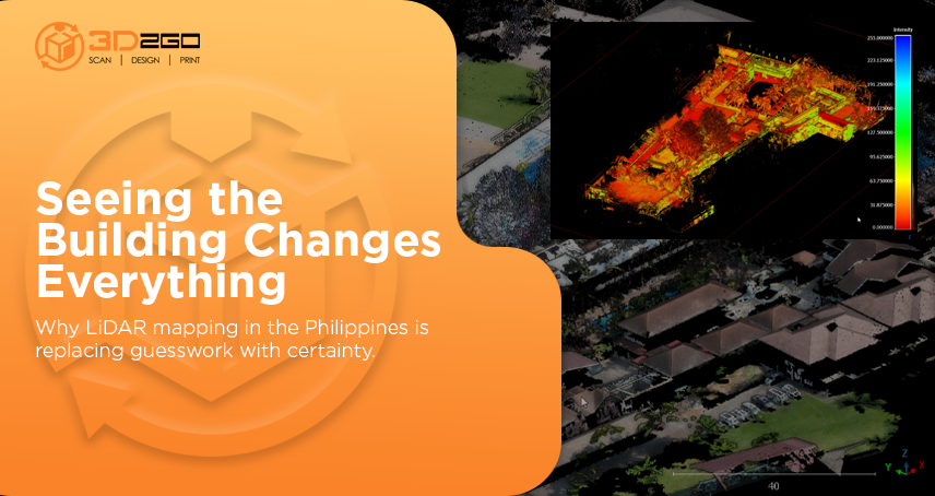
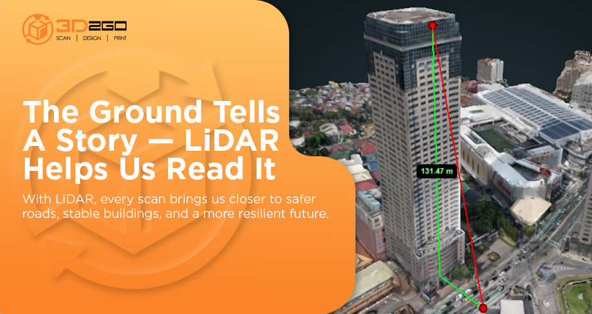
LiDAR, short for Light Detection and Ranging, uses laser beams to measure distances and generate incredibly detailed 3D maps of the earth’s surface. Sensors send out thousands of laser pulses each second, which bounce back when they hit an object. The result is a dense collection of data points that reveal elevation, contours, and even vegetation.
Mounted on drones, aircraft, or vehicles, LiDAR mapping services capture information far faster than manual surveys. What sets it apart is the ability to cut through tree canopies and record the ground beneath, which is a huge advantage in a country with dense forests and uneven terrain like the Philippines.
Why LiDAR Mapping Services Are Preferred
-
Unmatched Accuracy for Complex Terrains
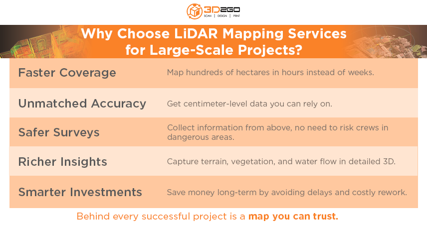
Large-scale projects can’t rely on rough estimates. A bridge that’s a meter off in elevation or a drainage system built on incorrect slope data can lead to disaster. LiDAR mapping services deliver centimeter-level accuracy, giving planners confidence that their blueprints match the real world.
-
Faster Data Collection
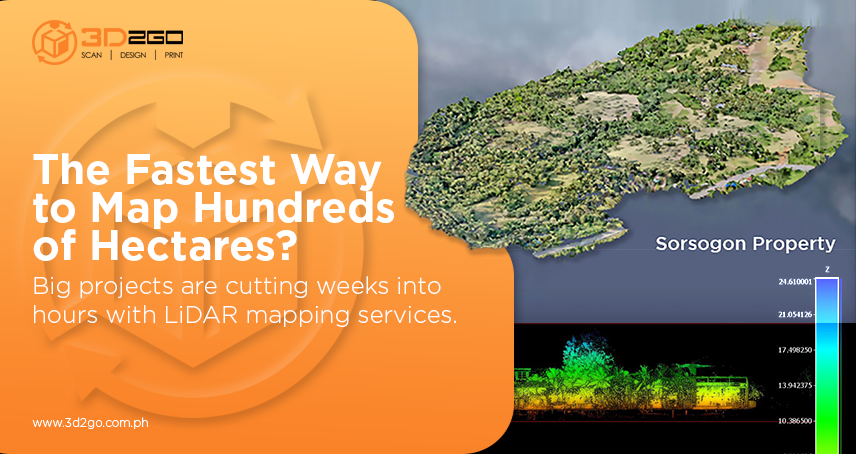
Time is money, especially when delays can halt construction or inflate budgets. Traditional surveying can take weeks, sometimes months, if the terrain is difficult. With LiDAR mapping services, hundreds of hectares can be mapped in a fraction of that time. For major infrastructure projects, the time saved translates directly into reduced costs and smoother execution.
-
Enhanced Safety and Accessibility
Surveying hazardous or inaccessible areas has always been risky. LiDAR solves this by collecting data from above, keeping teams out of harm’s way. Whether it’s flood-prone zones, steep mountainsides, or busy urban centers, LiDAR mapping services gather critical data without exposing people to unnecessary danger.
-
Rich Data for Smarter Decisions
One of LiDAR’s strongest qualities is the richness of the data it provides. It doesn’t stop at elevation. Planners can analyze vegetation cover, water flow, and even hidden features beneath tree canopies. When combined with other geographic data, LiDAR maps create a holistic picture that helps decision-makers weigh multiple factors before breaking ground.
-
Cost Efficiency in the Long Run
Some companies hesitate at the initial cost of LiDAR mapping services, but the bigger picture shows why it pays off. Faster completion, fewer manpower hours, and reduced risks of error make projects more efficient. Avoiding rework or delays often offsets the upfront investment, making it a practical choice in the long run.
Where LiDAR Mapping Services Make the Difference
-
Smart City Planning
Metro Manila and other urban centers are expanding rapidly. Designing smarter cities means anticipating population growth and planning roads, utilities, and drainage that actually fit the landscape. LiDAR mapping services help create realistic blueprints instead of working off outdated assumptions.
-
Infrastructure Development
Whether it’s highways in Luzon, airports in Visayas, or bridges in Mindanao, infrastructure needs precision. LiDAR ensures engineers know exactly what they’re building on. Slopes, soil conditions, and elevation differences are all mapped clearly, reducing risks like landslides or flooding.
-
Disaster Preparedness
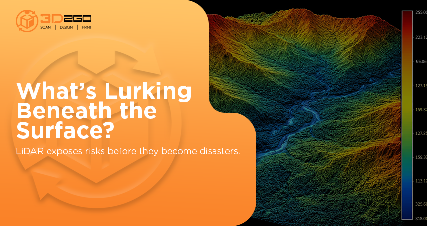
The Philippines faces frequent typhoons, earthquakes, and floods. LiDAR mapping services support disaster risk reduction by identifying vulnerable areas, predicting flood paths, and monitoring coastal erosion. The data gives communities a head start in preparing for natural hazards.
-
Environmental and Forestry Work
Tracking forest health, monitoring land use, and measuring carbon stocks require reliable mapping. LiDAR mapping services provide clear insights even in dense forested areas, which is invaluable for environmental agencies and conservation groups.
-
Mining and Resource Management
Mining projects need precise data to plan excavations while minimizing environmental impact. LiDAR mapping services give mining firms the clarity they need to balance productivity with safety and sustainability.
Why the Demand Keeps Growing?
Government initiatives like “Build Better More” and the private sector’s expansion into new developments continue to drive demand for advanced geospatial technologies. LiDAR mapping services not only meet current needs but also integrate well with emerging tools like GIS, AI, and predictive modeling. This combination allows companies to forecast potential problems, test scenarios, and plan more effectively.
In other words, LiDAR is no longer just a high-tech option. It’s quickly becoming the new standard for large-scale projects in the Philippines.
Challenges and Considerations
While the benefits of LiDAR mapping services are clear, some challenges remain:
-
Cost Barrier for Small Projects: Smaller companies or communities may find LiDAR expensive without government or institutional support.
-
Technical Expertise: Processing LiDAR data requires specialized knowledge and software. Partnering with experienced providers is crucial.
-
Weather Dependency: Since aerial LiDAR relies on clear skies, heavy rains and strong winds common in the Philippines can delay operations.
Still, these challenges are manageable, especially when working with a professional service provider that understands local conditions.
Why 3D2GO Should Be Your First Call
Not all providers of LiDAR mapping services in the Philippines bring the same expertise to the table. 3D2GO has built its reputation on delivering high-quality 3D scanning and mapping solutions that are tailored to the local landscape. With advanced equipment, skilled professionals, and years of experience, the company offers more than raw data. It delivers actionable insights that empower organizations to move forward with confidence.
Whether the goal is to design infrastructure, monitor the environment, or prepare for natural disasters, 3D2GO understands the unique challenges of working in the Philippines and provides solutions that fit.
Moving Forward with Confidence
For large-scale projects, LiDAR mapping services offer accuracy, speed, and safety that traditional methods simply can’t match. They help developers, planners, and government agencies work smarter and build with confidence. In a country as dynamic and challenging as the Philippines, that advantage can make all the difference.
If you’re ready to take your project to the next level, now is the time to act. Reach out to 3D2GO and discover how our LiDAR mapping services can turn complex terrain into clear opportunities.
Ready to future-proof your next project? Contact 3D2GO today and discover how our LiDAR mapping services can give you the accuracy, speed, and reliability you need to succeed.


