3D Printing Service Cost Breakdown: Breaking the Stigma
June 9, 2022
Where Can I 3D Print Around Manila?
June 10, 2022How much is a 3d scan?
Did you know that you can make use of an ordinary camera? Just add some clever software. As a result, you can have your own 3D scanning camera. No need to invest in new equipment. All you need is a regular 2D camera and some whack techniques.
Creating a 3D scanner camera from one that takes 2D pictures is possible. The key is angles. Pretty straightforward. Just download an app on your smartphone. Then snap away to your heart’s content. Remember those angles are important. Finally, feed them some special software. And there you have it, a 3D design.
But of course, there are smaller details to consider. Because you are basically using already existing equipment, there is going to be a need to practice. This enables optimizing the scan.
Listed below are some of the accessories for 3D scanners:
CALIBRATION PANELS
Create precise scans by calibrating the scanning software with these glass panels. Works flawlessly with all HP and David Vision Systems 3D Scanners
DAVID LASERSCANNER PRO EDITION 3
This software allows inexpensive 3D scanning of surfaces. All you need is
- Video camera
- Line laser
- A “corner” as background
SLS CAMERA
Captures 25 frames per second at a resolution of 1280 x 960 px
Laser scanning buildings with aerial survey sensors
3D2GO uses a high definition scanning technology. As a result, we offer the best quality of scanning services. We offer these to anyone in need, especially project managers, engineers, and architects. They will be able to better visualize the 360 conditions of any facility or site.
This means that we understand the building conditions better. As a result, we can make suggestions for better decisions.
We are able to offer our scanning services even off our site. Our scanner is portable and gives us the freedom to expand our offer to almost anywhere in the country.
Basically, an aerial survey is a method of collecting geomatics or other imagery. It is being done by using aerial methods such as:
- Airplanes
- Helicopters
- UAVs
- Balloons
Typical types of data collected include:
- Aerial photography
- Lidar
- Remote sensing
- Geophysical data
Aerial surveys need a sensor. This is then fixed to the interior or the exterior of the airborne platform. It should have a line-of-sight to the target it is sensing.
Start big with 3D2GO’s lidar services
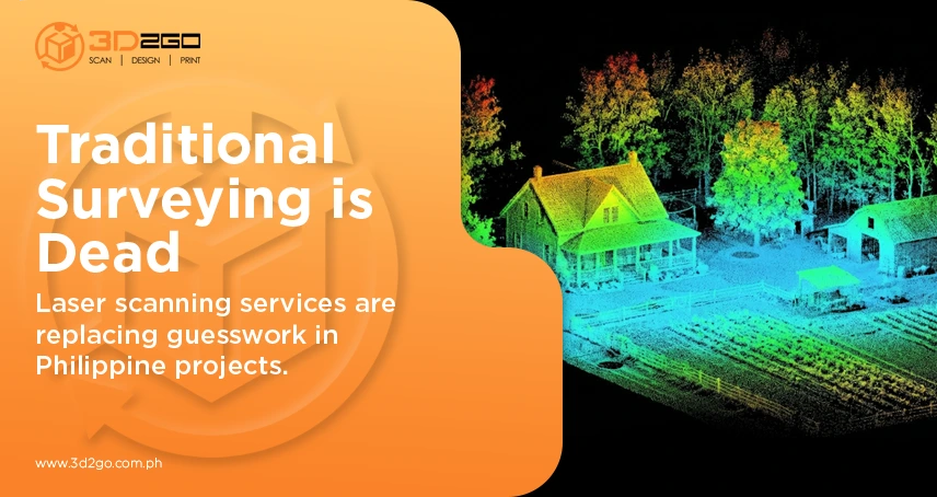
So what is lidar scanning? It is a remote sensing method. The light is being used in the form of a pulsed laser to measure ranges to the Earth. These light pulses then generate 3D information about the shape and surface characteristics. Lidar-generated products to examine both natural and manmade environments.
On the other hand, 3D scanning makes use of laser line probes. These consist of small laser dots aligned in rows. The laser dots are then projected onto a surface. It is being read by a camera that is already aligned at a small angle to the laser.
Laser scanning does not provide an infinite number of points but rather a very high quantity. The areas between the dots are not captured. It is because the spacing between laser dots represents the resolution of the scan. The closer the spacing, the better the resolution.
Still need more information regarding our scanning services?


