Why Local Engineers Rely on Aerial LiDAR Survey for Site Development in the Philippines
October 3, 2025
How LiDAR Scanning Services Improve Urban Planning and Smart City Projects
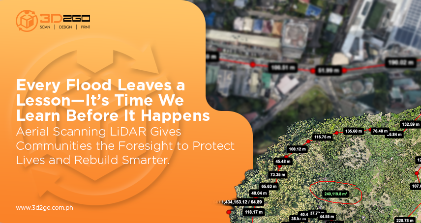
October 17, 2025Flooding has always been part of life in the Philippines. With more than 20 tropical storms hitting the country each year, it’s no longer a question of if it will flood—but how well we’re prepared when it does.
That’s where services for aerial LiDAR scan make a real difference. Instead of waiting for floods to reveal weak points in infrastructure, this technology empowers engineers, planners, and local governments to detect risks early and make data-backed decisions that save both time and resources.
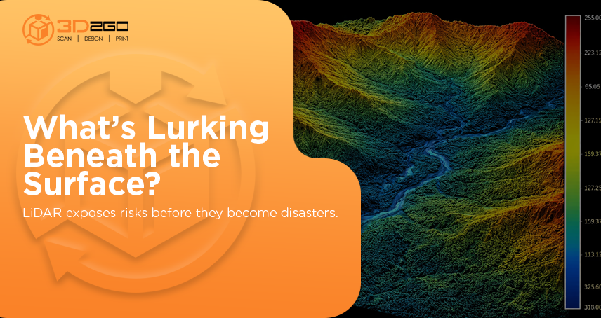
Unlike traditional ground surveys, which depend on manpower, ideal weather, and considerable patience, aerial scanning LiDAR captures every detail of the landscape from above using laser pulses. The result? A highly accurate digital terrain model that clearly shows which areas are most prone to flooding—long before disaster strikes.
Why Aerial Scanning LiDAR Works So Well in the Philippines
With its diverse mix of mountains, coastal plains, and flood-prone lowlands, the Philippines is an ideal testbed for LiDAR technology. It’s already being used across Palawan, Pampanga, and Davao to map hundreds of hectares in a fraction of the time it takes using manual methods.
Some LiDAR missions have covered over 1,000 hectares in just a few hours, producing terrain models that now guide master planning, drainage design, and zoning.
Here’s why aerial scanning LiDAR stands out in flood management:
- Covers large areas quickly – Ideal for mapping entire provinces or watersheds.
- Delivers centimeter-level precision – Captures small terrain changes that impact flood behavior.
- Provides real-time updates, enabling faster decision-making for local governments and developers.
- Supports climate resilience – Creates reliable data for building safer, more sustainable communities.
It’s not just data—it’s a foundation for more intelligent planning.
Accuracy That Engineers Can Rely On
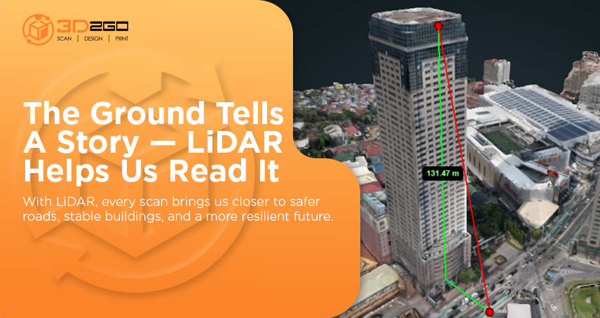
When designing flood control systems or road alignments, every inch matters. Aerial scanning LiDAR provides millions of elevation points, rather than a few scattered measurements. That means engineers can clearly see the dips, ridges, and natural drainage paths that would otherwise go unnoticed.
This accuracy gives engineers the confidence to make informed design decisions early—reducing costly changes later. And because the data’s so precise, flood simulations become more realistic, allowing planners to predict how and where water will flow during heavy rainfall.
Faster Data, Smarter Decisions
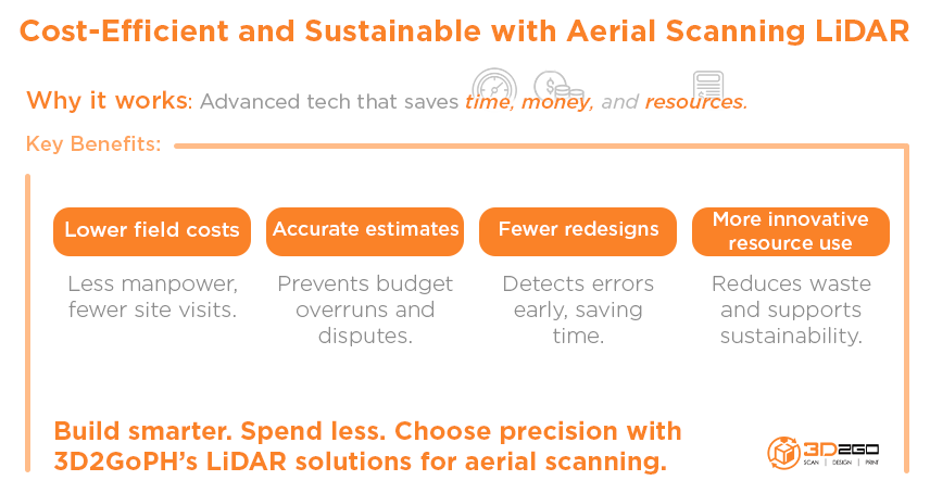
When deadlines are tight and budgets are stretched thin, aerial scanning LiDAR makes life easier. It delivers fast, reliable site data that eliminates the guesswork from flood planning.
Here’s what that looks like in practice:
- Weeks of fieldwork condensed into hours
- Digital elevation models are available within days
- Less time spent collecting data, more time interpreting it
For disaster preparedness, that speed isn’t just convenient—it’s crucial. It provides agencies with sufficient lead time to prepare evacuation plans, strengthen flood defenses, and issue early warnings when necessary.
How It Strengthens Disaster Preparedness
Flood-risk assessment is more than just elevation mapping—it’s understanding how water behaves. Using aerial scanning LiDAR, agencies can simulate:
- How fast floodwaters rise
- Which areas will submerge first
- How long will it take for floodwaters to recede
This insight allows disaster management teams to:
- Identify the safest evacuation routes
- Strategically place relief centers
- Reinforce vulnerable bridges and roads before floods hit
A 2024 Forbes report revealed that demand for technologies improving climate resilience—such as LiDAR mapping—is rising across the Asia-Pacific. Governments and developers are now prioritizing digital terrain analysis as an essential investment, not an optional upgrade.
Aerial Scanning LiDAR: A Profitable Technology in 2025
Aside from disaster response, aerial scanning LiDAR is also turning heads in the business world. In 2025, the global LiDAR market is projected to reach USD 2.89 billion, with airborne LiDAR accounting for approximately USD 1.65 billion of that growth.
What’s driving its profitability?
- Rising infrastructure investments – Governments and private firms need reliable terrain data for large-scale projects.
- Urban expansion – Cities require precise elevation mapping to prevent flooding.
- Innovative city development – LiDAR supports the creation of accurate digital twins for sustainable design.
- Environmental compliance – Projects now demand LiDAR-based surveys for regulatory approval.
In short, aerial scanning LiDAR isn’t just helping save lives—it’s fueling a profitable, fast-growing industry. For Filipino engineers and survey companies, adopting it early means staying ahead in a competitive, data-driven market.
Looking Ahead: The Future of Flood Mapping in the Philippines
As climate change accelerates, the Philippines must move from reactive to proactive disaster management. Aerial scanning LiDAR provides that shift. It transforms topographic data into actionable intelligence, saving time, money, and lives.
By 2025 and beyond, expect to see more cities adopting LiDAR-based mapping as part of their standard planning toolkit. The goal isn’t just to survive floods—it’s to build communities that can thrive despite them.
The Takeaway: Partner with Experts Who Know the Terrain
At 3D2GoPH, we don’t just provide aerial scanning LiDAR services—we deliver clarity where it matters most. Our team combines precision technology with local expertise to create detailed, accurate terrain models you can depend on for flood mapping, land development, and infrastructure projects.
If you’re ready to take flood preparedness and risk assessment to the next level, connect with us today. Let’s turn your next project into a model of accuracy, efficiency, and resilience for 2025 and beyond.


