The Role of 3D Design and Printing in Innovative Architectural Products
September 26, 2025
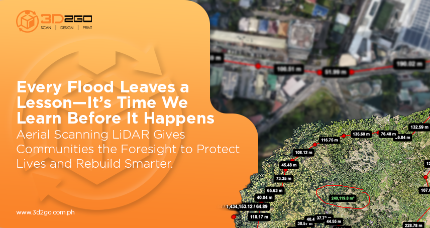
How Aerial LiDAR Scanning Is Used for Flood Risk Assessment and Disaster Preparedness in the PH
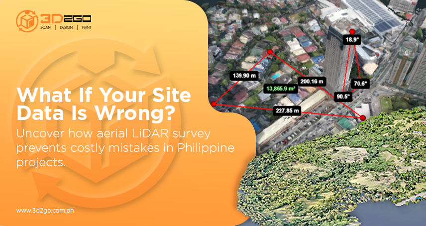
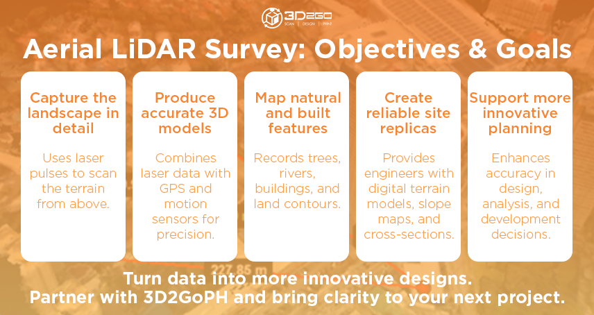
October 10, 2025In the Philippines, site development isn’t just about laying out a parcel of land and breaking ground. With the country’s rugged terrain, dense forests, and flood-prone zones, engineers face a constant battle against incomplete data and hidden risks. That’s why many now turn to aerial LiDAR survey in the Philippines—a technology that captures the landscape in remarkable detail and gives engineers the confidence to design smarter, faster, and with fewer surprises.
Why Aerial LiDAR Survey Works So Well in the Philippines
1. Covering Difficult Terrain in Record Time
Anyone who has walked a survey line through thick Philippine forests or steep mountain slopes knows how grueling—and sometimes dangerous—it can be. With aerial LiDAR, you can capture hundreds of hectares in a matter of hours. Traditional survey crews would take days or even weeks to cover the same ground.
Even dense vegetation isn’t much of an obstacle. LiDAR can filter through tree canopies and pick up the actual ground level underneath. That’s a significant issue in rural or coastal developments where conventional tools often fall short.
2. Accuracy That Engineers Can Trust
When designing drainage systems, road alignments, or structural foundations, minor errors can quickly snowball into significant costs. An aerial LiDAR survey provides the precision engineers need—often within just a few centimeters—enabling them to make critical design decisions with confidence.
Additionally, its point density is exceptionally high. Instead of relying on a handful of measured points, you’re working with millions. That level of detail allows terrain models to capture even the faintest ridges or dips—the subtle features that could make or break a project once construction begins.
3. A Data Goldmine for Planning and Safety
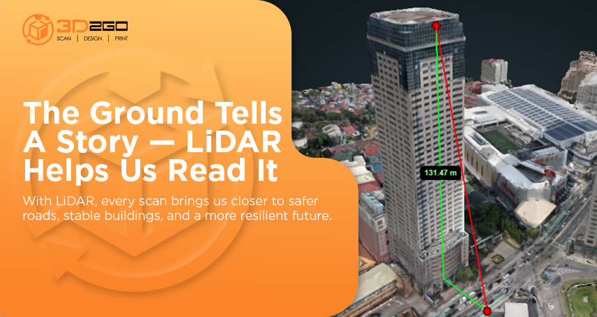
LiDAR’s not just about making a pretty 3D map. It feeds directly into some of the toughest challenges in Philippine site development:
- Flood modeling: High-resolution elevation data helps predict where water will pool or overflow during heavy rains.
- Slope stability: Engineers can spot landslide-prone areas and design with those risks in mind.
- Layout decisions: Access roads, building pads, and utilities can be placed where they’ll need the least excavation or fill.
- Environmental compliance: LiDAR even helps map vegetation density, which is useful when projects need ecological permits.
With one dataset, engineers can tackle multiple problems at once—a rare efficiency in this field.
4. Lower Costs, Fewer Headaches
Yes, LiDAR involves advanced equipment and processing. But the savings stack up quickly. Crews spend less time in the field. Errors that usually lead to expensive redesigns or on-site rework are caught early. Bids for earthworks become more accurate, which helps avoid disputes later on.
According to Deloitte, rework can add anywhere from 5% to 20% of total construction costs—a staggering number when you think about large infrastructure budgets. LiDAR’s detailed data helps bring those costs down by reducing mistakes before they reach the construction stage.
5. Clarity for Tough Decisions
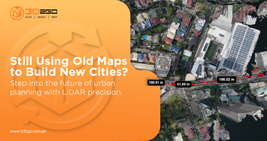
When deadlines are tight and budgets lean, engineers don’t have the luxury of guesswork. An aerial LiDAR survey gives them a clear picture of the site—literally. Instead of relying on scattered survey points, they see the terrain exactly as it is. That kind of clarity makes decision-making faster, more accurate, and a lot less stressful.
How Local Teams Already Use It
This isn’t just theory. Philippine survey firms have already flown aerial LiDAR survey missions over sites in Palawan, coastal areas, and even heavily forested regions. The results? High-fidelity digital terrain models became the backbone for master planning, resort development, and environmental studies.
In some cases, firms have mapped more than 1,000 hectares in just a few hours of flight time. Compare that to weeks of boots-on-the-ground work, and it’s clear why more engineers are relying on aerial LiDAR survey in the Philippines.
The Caveats (and How to Work Around Them)
Of course, an aerial LiDAR survey isn’t magic. Processing those massive point clouds still requires serious computing power and technical expertise. Ground control points must be established to ensure the data aligns correctly. For very small, straightforward lots, a traditional survey may still be the more practical choice.
But for large or complex developments—which is often the case in the Philippines—the benefits of an aerial LiDAR survey far outweigh the challenges. With proper calibration, skilled processing, and the right local knowledge, it becomes a genuine game-changer.
Why 3D2GoPH Stands Out
Here’s the thing: LiDAR data is only helpful if it’s processed well and delivered in a form that engineers can actually use. That’s where expertise matters. At 3D2GoPH, we don’t just fly and scan—we turn that raw data into actionable models ready for CAD, BIM, or GIS. We also understand the nuances of working with Philippine geodetic standards and local environmental requirements, so there’s less back-and-forth and fewer delays.
Final Thoughts
The rise of aerial LiDAR survey in the Philippines isn’t just a passing trend. It’s a response to the very real challenges of developing land in a country where terrain, vegetation, and weather can complicate even the most straightforward project.
For local engineers, LiDAR means better data, fewer mistakes, and stronger designs. For developers, it translates into savings, faster approvals, and projects that actually stay on schedule.
If your team is exploring site development and you want to see how LiDAR can enhance your workflow, let’s talk. Reach out to 3D2GoPH today and discover how we can help bring clarity and confidence to your next project.


